May birthdays

Tuesday is my grandmother’s birthday. She was born in tiny village in what is now Slovenia in 1885, and immigrated to the Iron Range of Minnesota at age 27. She worked in a boarding house that had “hot beds.” That is, iron miners as my grandfather, would sleep in a bed and then when at work, a miner from another shift would sleep in that bed. They were soon married, and at age 29 grandma would give birth to the first of a dozen children. Nearly every day of her life with children at home she’d make bread in her wood burning stove.

Grandma bread-.jpg

My mom came along as baby number ten on the last day of May. One of her strong memories was the celebration of Mary during the month of May. The girls would gather baskets of flower petals and shower them on the aisle of the church.

tulip-8703.jpg

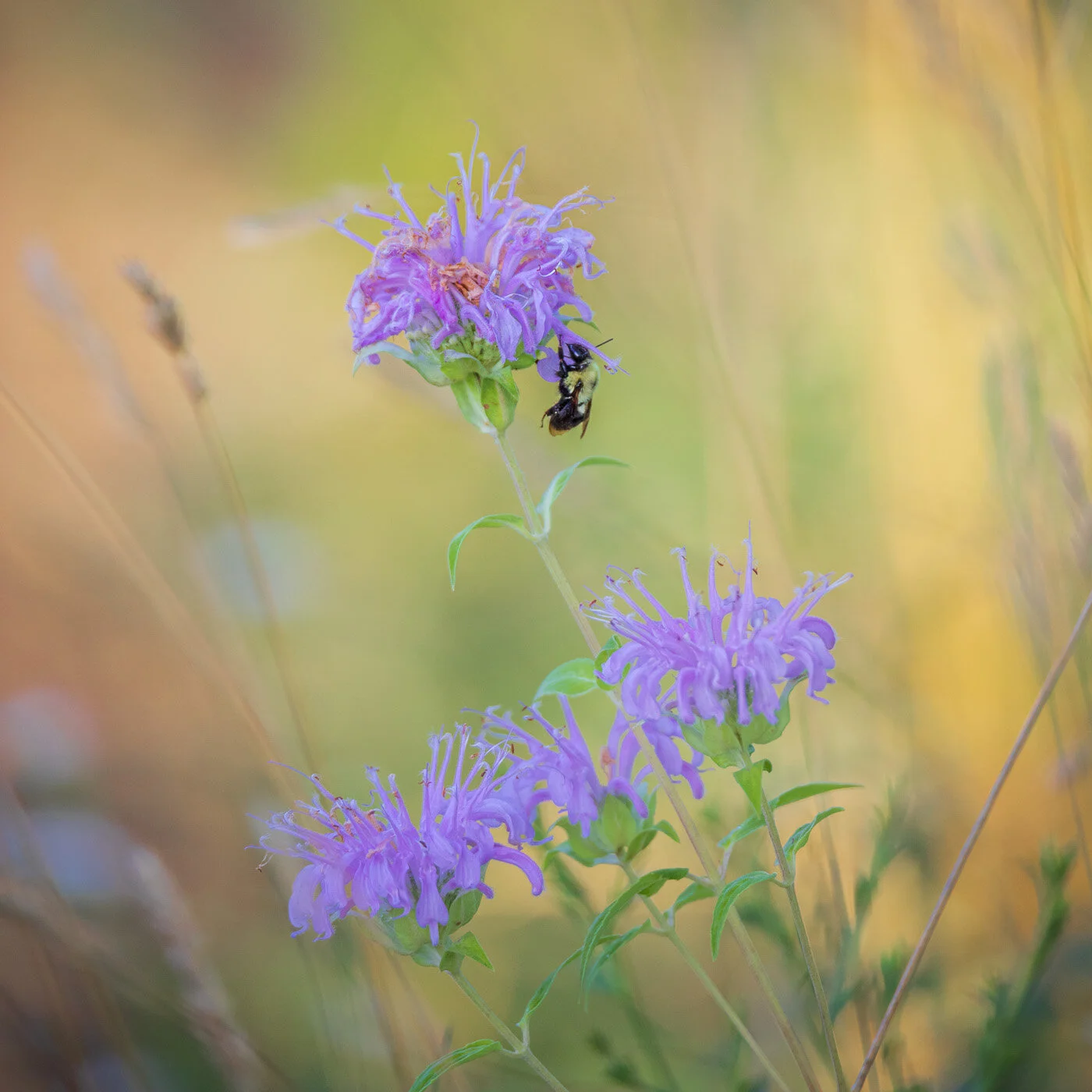
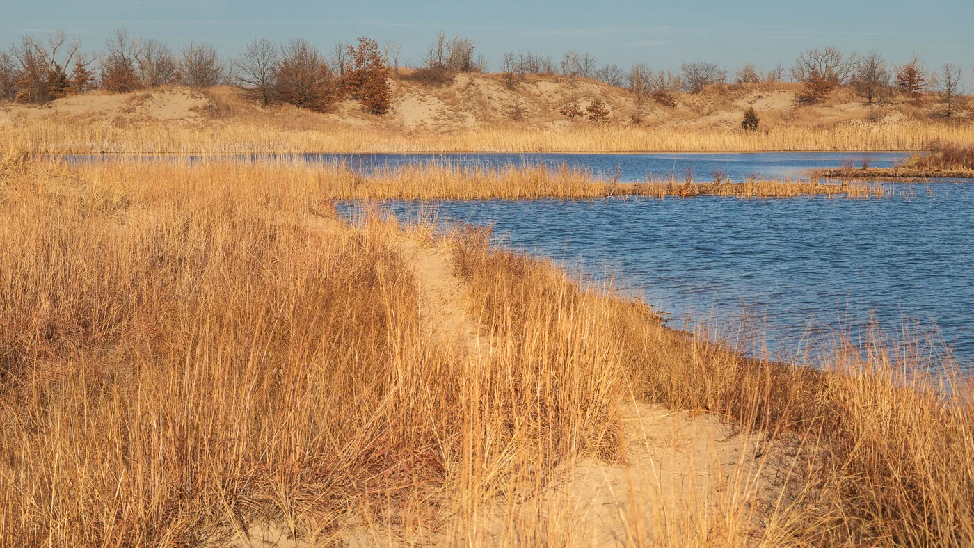
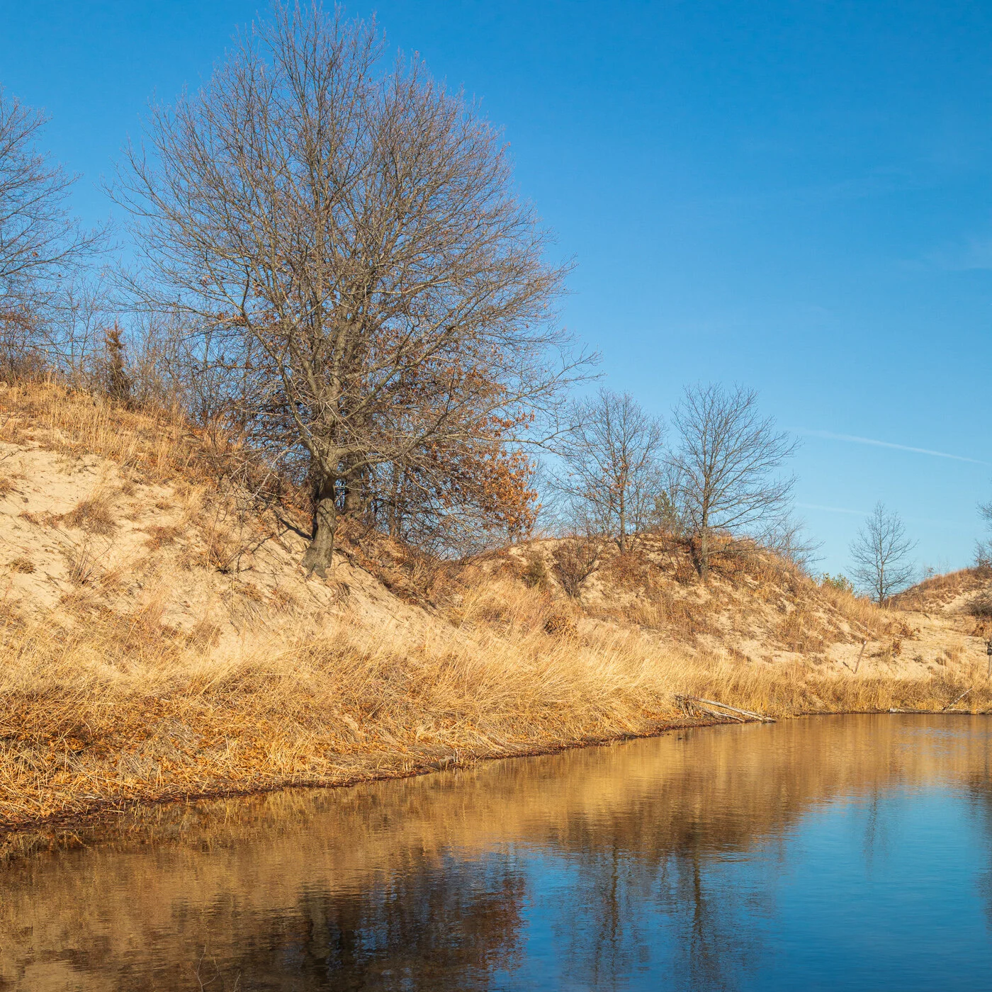
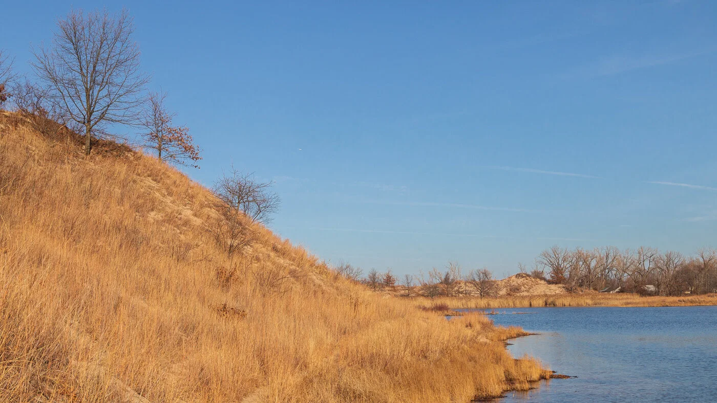
Two days ago was my sister Nora’s birthday. Our grandmother Nora died at age 20 when our dad was only two years old, and we have no idea when her birthday was. But we can image that she, too, was born in May. The month greets us with the jewels of flowers blooming and the birds singing their spring songs. Here are some of those winged gems at a nearby forest preserve this month.

White-crowned Sparrow and dandelions

White-crowned Sparrow and dandelions

Eastern Kingbird on cattail

Eastern Kingbird on cattail

Goldfinch

Goldfinch

The most glorious arrival of this May came to Joe and Kelly. Our first grandchild Hailey Ann joined this world on Monday. She’s part of a long, beautiful parade of May wonders.

Hailie yawn-151616.jpg

Cold Mountain

Charles Frazier’s novel Cold Mountain follows Inman, a confederate soldier deserting and walking back to his home on Cold Mountain. Today, Cold Mountain lies nearly entirely within the Shining Rock Wilderness of Pisgah National Forest. Frazier’s lyrical writing transports you back to 19th century Appalachia, but looking out into the Pisgah Forest can transport you into the world of Frazier’s novel. In turn, when Inman was in the hospital recovering from nearly fatal wounds, he read William Bartram’s Travels written in the 18th century to transport him back home.

Yellowstone Prong of the Pigeon River, Pisgah National Forest

Yellowstone Prong of the Pigeon River, Pisgah National Forest

“It was not a book that required following from front to back, and Inman simply opened it at random, as he had done night after night in the hospital to read until he was calm enough for sleep. The doings of that kind lone wanderer—called Flower Gatherer by the Cherokee in honor of his satchels full with plants and his attention all given to the growth of wild living things—never failed to ease his thoughts. The passage he turned to that morning became a favorite, and the first sentence that fell under his eye was this:

Continued yet ascending until I gained the top of an elevated rocky ridge, when appeared before a gap or opening which continued as the rough rocky road led me, close by the winding banks of a large rapid brook, which at length turning to the left, pouring down rocky precipices, glided off through dark groves and high forests, conveying streams of fertility and pleasure to the field below.”

Great Balsam Mountains, Pisgah National Forest

Great Balsam Mountains, Pisgah National Forest

“Such images made Inman happy, as did the following pages wherein Bartram, ecstatic, journeyed on to the Vale of Cowee deep in the mountains, breathlessly describing a world of scarp and crag, ridge after ridge fading off blue into the distance, chanting at length as he went the names of all the plants that came under his gaze as if reciting the ingredients of a powerful potion. After a time, though Inman found that he had left the book and was simply forming the topography of home in his head. Cold Mountain, all its ridges and coves and watercourses. Pigeon River, Little East Fork, Sorrell Cove, Deep Gap, Fire Scald Ridge. He knew their names and said them to himself like the words of spells and incantations to ward off the things one fears the most.”

Cold Mountain, pages 10-11

Cold Mountain and the Shining Rock Wilderness

Cold Mountain and the Shining Rock Wilderness

Inman reflects back to courting Ada. I think back to Kangua Road that we would take from Camp to head up into Pisgah, and perhaps to take the trail up to Shining Rock.

“—Look there, he said. He tipped his head back to take in Cold Mountain, where all was yet wintery and drab as a slate shingle. Inman stood looking up at the mountain and told her a story about it. He had heard it as a child from an old Cherokee woman who had successfully hidden from the army when they scoured the mountains, gathering the Indians in preparation for driving them out on the Trail of Tears. . . . [T]he tale . . . was about a village called Kangua that many years ago stood at the fork of the Pigeon River. It it long since gone and no trace remains other than potsherds that people sometimes find, looking for stickbait at the river edge.

One day a man looking like any other man came into this Kanuga. . . .

—What town is it you come from? they asked.

—Oh, you have never seen it, he said, even though it is just there. And he pointed south in the direction of Datsunalasgunyi, which the snake woman said was the name they had for Cold Mountain and did not signify either cold or mountain at all but something else entirely.

—There is no village up there, the people said.

—Oh yes, the stranger said. The Shining Rocks are the gateposts to our country.

. . . .

. . . I come to invite you to live with us. Your place is ready. There is room for all of you. But if you are to come, everyone must first go into the town house, and fast seven days and never leave during that time and never raise the war cry. When that is done, climb to the Shining Rocks and they will open as a door and you may enter our country and live with us.

. . . .

On the morning of the seventh day the people began climbing Dasunalasgunyi toward the Shining Rocks. They arrived just at sunset. The rocks were white as a snowdrift, and when the people stood before them, a cave opened like a door, and it ran to the heart of the mountain. But inside was light rather than dark. In the distance, inside the mountain, they could see an open country. A river. Rich bottomland. Broad fields of corn. A valley town, the house in long rows, a town house atop a pyramidal mount, people in the square-ground dancing. The faint sound of drums. . . . “

Cold Mountain, pages 197-198.

Mississippian mound builders had lived in these mountains, and had built mounts. Later the Cherokee lived here until most were forcibly removed. Some survived in the Smokies west of here. People now “owned” this land. Eventually, and after the time of Inman and Ada, the Vanderbilt family would own most of this land, and then it became the first National Forest. If you’ve seen the TV series Westworld, a scene of the Native American Ghost Nation leaving Westworld seems to be described by the Cherokee woman’s story that Inman tells.

Autumn fog on the Yellowstone Prong

Autumn fog on the Yellowstone Prong

“They climbed to a bend and from there they walked on great slabs of rock. It seemed to Inman that they were at the lip of a cliff, for the smell of the thin air spoke of considerable height, though the fog closed off all visual check of loftiness. The rain tailed off into a thin drizzle, and then turned to hard pellets of snow that rattled against the stones. They stopped to watch it fall, but it lasted only a minute and then the fog started lifting, moving fast, sheets of fog sweeping on an updraft. Blue patches of sky opened above him, and Inman craned his head back to look at them. He reckoned it was going to be a day of just every kind of weather.

Pisgah Ridge view from John Rock bald and the Davidson River Gorge

Pisgah Ridge view from John Rock bald and the Davidson River Gorge

“Then he looked back down and felt a rush of vertigo as the lower world was suddenly revealed between his boot toes. He was indeed at the lip of a cliff, and he took one step back. A river gorge—apparently the one he had climbed out off—stretched blue and purple beneath him, and he suspected he could spit and nearly hit where he’d walked the day before yesterday. The country around was high, broken.”

Looking Glass Rock from John Rock

Looking Glass Rock from John Rock

“Inman looked about and was startled to see a great knobby mountain forming up out of the fog to the west, looming into the sky. . . On its north flank was a figuration of rocks, the profile of an immense bearded man reclining across the horizon.

—Has that mountain got a name? he said

—Tanawha, the woman said. The Indians called it that.

Inman looked at the big grandfather mountain and then he looked beyond it to the lesser mountains as they faded off into the southwest horizon, bathed in faint smoky haze. Waves of mountains.”

Cold Mountain, page 209

Autumn view from Pisgah Ridge

Autumn view from Pisgah Ridge

Near the end of the book, Inman still carries his coverless, rolled up copy of Bartram’s Travels, and reads from it by candlelight in an old chicken house.

“A picture of the land Bartram detailed leapt dimensional into Inman’s mind. Mountains and valleys on and on forever. A gnarled and taliped and snaggy landscape where man might be seen as an afterthought. Inman had many times looked across the view Bartram described. It was the border country stretching endlessly north and west from the slope of Cold Mountain. Inman knew it well. He had walked its contours in detail, had felt all its seasons and registered its colors and smelled its smells. Bartram was only a traveler and knew but the one season of his visit and the weather that happened to fall in a matter of days.

But to Inman’s mind the land stood not as he’d seen it and known it for all his life, but as Bartram had summed it up. The peaks now stood higher, the vales deeper than they did in truth. Inman imagined the fading rows of ridges standing pale and tall as cloudbanks, and he built the contours of them and he colored them, each a shade paler and bluer until, when he had finally reached the invented ridgeline where it faded into sky, he was asleep.”

Cold Mountain, page 276

BRP Overlooks Pisgah-8569.jpg

Passenger on the Pigeon

From the Blue Ridge Parkway in North Carolina, you can look down into the valley of the East Branch of the Pigeon River. The West Branch flows from the other side of the Shining Rock Wilderness before the branches join and continue flowing north into Tennessee until they join the French Broad River which then flows to the Tennessee River. Before the 20th Century, the Passenger Pigeon would migrate through this valley giving it its name. The migration is unimaginable today. The sky would blacken for hours, and the sound was so loud you couldn’t have a conversation. By the turn of the century, what had been the most populous bird species in the world, was nearly extinct with a lone female who would die in a Cincinnati Zoo in 1914.

Sunset, valley of the East Fork of the Pigeon River

Sunset, valley of the East Fork of the Pigeon River

For two summers, I worked at a boys camp near here, and led hikes in Pisgah and Nantahala National Forests. My favorite hikes would begin near this spot—some going up to the Shining Rock Wilderness, others into Graveyard Fields which I wrote about on another visit three years ago. Another hike would start on the Yellow Prong on the Pigeon which would then become the East Fork. The East Fork trail offers plenty of swimming holes and places to camp near the river, and is generally a fairly easy hike down the valley, so it’d be a great easy hike for young boys learning to backpack but still enjoy a wilderness experience.

Big East Fork trail

Big East Fork trail

My hike this month would not be an overnight backpack, but a day hike along part of the river. I started at the downstream end. We got up before dawn since rain was forecast for the afternoon, and drove through fog on the mountain ridges. We got below the fog for the parking area by the trailhead where the camp bus would load us up at the end of the hike, and where my friend John picked me up once. It was still dark and misty to start the hike down to the river.

Big East Fork Trailhead-5889.jpg

At this elevation, even in early April, only a few trees are leafing out, but this allows a view of the mountains at many spots with the evergreen leaves of the rhododendrons providing color.

East Fork tree-6101.jpg
Big East Fork start-5898.jpg

The trail mostly strays not far from the sounds and sights of the whitewater flowing down the river.

East Fork rapids-5979.jpg

Or you can sit and rest a bit and let your imagination run in in the patterns in the wood on an old log.

stump grain-5918.jpg

I met John our first week in college and I learned he lived just a couple miles from the camp I worked at. We were roommates our senior year and the year after. Later during my second year in law school, John was going home for a long weekend and invited me to join him. I thought it would be good to take a break from class, and spend some time in the woods. John dropped me off in the morning along the Blue Ridge and would pick me up the next afternoon at the other end of the East Fork trail. After hiking a bit, I found a place to set up the tent close to the river across from another stream that ran down from the Shining Rock wilderness and had a little waterfall tumbling into the East Fork.

East Fork creek falls-6085.jpg

Soon after making dinner, it started raining, so I headed into the tent. I remember reading Sidhartha by flashlight as the rain beat down. And it rained all night. Eventually, it started getting wet on one side of the tent, then the other side as I scrunched my sleeping bag into the middle. And it kept raining. As it got time when on normal days it would start getting light, it still rained, and my bladder could hold out no longer, and there were strange sounds along with the rain. I crawled out of the tent and discovered the river was now next to my tent, and some of it was flowing in a stream on the other side. I’ve never broken camp so fast, and got all my wet gear into my backpack. Many places where the trail ran along the river were now underwater. Bushwhacking on soggy ground through rhododendron thickets was none too easy. The trail runs on the edge of the Shining Rock Wilderness. A wilderness designation means there can’t be any human signs like roads or power lines—or trail signs or even blazes painted on trees. Fortunately, I’d hiked the trail many times, and knew I just needed to head downstream until I’d find the trail up to road where John would meet me. And he found the rain-soaked me to bring back to his parents’ home.

So it was fitting that as Chance and I turned around to head back to the car, parked where John had picked me up 39 years earlier, it started to rain.

East Branch paul Chance pano-6089.jpg

Sparkin' and smokin'

For the 77th consecutive year Great Smoky Mountains remained the most visited National Park in 2020. Of course, it is less than a day’s drive from two-thirds of the nation’s population, and U.S. 441, New Found Gap Road, goes through the heart of the park. But it is deservedly visited for its astonishing variety of life and beauty, and with a little effort you can avoid crowds.

Mountain Bluet

Mountain Bluet

Getting low to the ground does help!

Sparks Lane, Cades Cove

Sparks Lane, Cades Cove

One of the most popular areas is Cades Cove which is a wide, open valley that was lived in by natives, who were later pushed out by settlers, who in turn were removed when the park service acquired the land in the 1930s. The 11 mile loop road can be infuriating with slow, bumper-to-bumper traffic stopping to see deer, horses, turkeys and other wildlife. However, two dirt roads cut across the loop, and can be surprisingly quiet. Also, dogs are not allowed on the area trails, but they are allowed on roads, so Chance got a nice walk along Sparks Lane and Hyatt Lane.

Hyatt Lane rest

Hyatt Lane rest

Maple buds, Cades Cove

Maple buds, Cades Cove

The trees were just beginning to bud and offered sweet pastels. We stayed on Sparks Lane to enjoy a peaceful sunset while the distant traffic still circled the loop road.

Sparks Lane sunset, Cades Cove, Tennessee

Sparks Lane sunset, Cades Cove, Tennessee

Most of the park is deeply forested, but a few spots allow distant views, and we stopped for sunrise at Maloney viewpoint on Fighting Creek Gap Road.

Great Smoky Mountains sunrise

Great Smoky Mountains sunrise

Another quite popular area near Gatlinburg is Roaring Fork Motor Trail which is a narrow, one-way loop through a beautiful forested area with several waterfalls and trails. Again, no dogs on the trails. However, the Motor Trail was still closed to traffic in early April, so voila, a great, quiet place for a walk with most people hiking the nearby trails and staying off the road.

Roaring Fork Motor Trail

Roaring Fork Motor Trail

Also, not far from Gatlinburg was another road into the park that was closed for construction, but still allowed for parking nearby with views of the Greenbriar River.

Dogwood, laurel and moss

Dogwood, laurel and moss

Falls on the Greenbriar River

Falls on the Greenbriar River

When it was time to leave the park and head to North Carolina, New Found Gap Road climbs over the crest of the mountains, and one of the best stops to see the receding ridgelines is Mills Overlook at nearly 5,000 feet elevation. And why might they be called the Smokys?

Mills Overlook ridges

Mills Overlook ridges

In the beginning . . .

For the past two years on Good Friday, I’ve posted images accompanied by one of our oldest stories. We’ll be back in church Saturday for the first time in more than a year, and will be privileged to proclaim these words again. My daughter was quite upset when she learned this story was not factually accurate. However, every time I read it I find more truth within the beautiful imagery. Time spent in this creation has been a great solace in this lonely year, and so here are some images from those times to accompany these words.

Atlantic

Atlantic

In the beginning, when God created the heavens and the earth,
the earth was a formless wasteland, and darkness covered the abyss,
while a mighty wind swept over the waters.

Palm Coast

Palm Coast

Then God said,
"Let there be light," and there was light.
God saw how good the light was.
God then separated the light from the darkness.
God called the light "day," and the darkness God called "night."
Thus evening came, and morning followed—the first day.

10Nov2020 Palm coast beach-7607.jpg

Then God said,
"Let there be a dome in the middle of the waters,
to separate one body of water from the other."
And so it happened:
God made the dome,
and it separated the water above the dome from the water below it.
God called the dome "the sky."
Evening came, and morning followed—the second day.

9Nov2020 Storm Eta-7213.jpg

Then God said,
"Let the water under the sky be gathered into a single basin,
so that the dry land may appear."

13Nov2020 Atlas V ULA launch-6928.jpg

And so it happened:
the water under the sky was gathered into its basin,
and the dry land appeared.
God called the dry land "the earth, "
and the basin of the water he called "the sea."
God saw how good it was.

Graham Swamp Preserve

Graham Swamp Preserve

Then God said,
"Let the earth bring forth vegetation: 
every kind of plant that bears seed
and every kind of fruit tree on earth 
that bears fruit with its seed in it."
And so it happened: 
the earth brought forth every kind of plant that bears seed 
and every kind of fruit tree on earth 
that bears fruit with its seed in it.
God saw how good it was.
Evening came, and morning followed—the third day.

Badlands National Park

Badlands National Park

Then God said:
"Let there be lights in the dome of the sky, 
to separate day from night.
Let them mark the fixed times, the days and the years, 
and serve as luminaries in the dome of the sky, 
to shed light upon the earth."
And so it happened:
God made the two great lights, 
the greater one to govern the day, 
and the lesser one to govern the night; 
and he made the stars. 
God set them in the dome of the sky, 
to shed light upon the earth,
to govern the day and the night, 
and to separate the light from the darkness.
God saw how good it was.
Evening came, and morning followed—the fourth day.

11Nov2020 sunrise-7066.jpg

Then God said, 
"Let the water teem with an abundance of living creatures, 
and on the earth let birds fly beneath the dome of the sky."

Short-eared Owl, Buffalo Gap National Grassland

Short-eared Owl, Buffalo Gap National Grassland

And so it happened:
God created the great sea monsters 
and all kinds of swimming creatures with which the water teems, 
and all kinds of winged birds.
God saw how good it was, and God blessed them, saying, 
"Be fertile, multiply, and fill the water of the seas; 
and let the birds multiply on the earth."
Evening came, and morning followed—the fifth day.

Bighorn Sheep, Badlands

Bighorn Sheep, Badlands

Then God said, 
"Let the earth bring forth all kinds of living creatures: 
cattle, creeping things, and wild animals of all kinds."

And so it happened:
God made all kinds of wild animals, all kinds of cattle,
and all kinds of creeping things of the earth.
God saw how good it was.

Au Train beach, Lake Superior

Au Train beach, Lake Superior

Then God said: 
"Let us make man in our image, after our likeness.
Let them have dominion over the fish of the sea, 
the birds of the air, and the cattle, 
and over all the wild animals 
and all the creatures that crawl on the ground."

God created man in his image; in the image of God he created him;
male and female he created them.
God blessed them, saying:
"Be fertile and multiply;
fill the earth and subdue it.
Have dominion over the fish of the sea, the birds of the air, 
and all the living things that move on the earth."

Bison, Badlands National Park

Bison, Badlands National Park

God also said:
"See, I give you every seed-bearing plant all over the earth
and every tree that has seed-bearing fruit on it to be your food;
and to all the animals of the land, all the birds of the air,
and all the living creatures that crawl on the ground,
I give all the green plants for food."
And so it happened.
God looked at everything he had made, and he found it very good.
Evening came, and morning followed—the sixth day.

Badlands, South Dakota

Badlands, South Dakota

Thus the heavens and the earth and all their array were completed.
Since on the seventh day God was finished
with the work he had been doing, 
he rested on the seventh day from all the work he had undertaken.

Genesis 1.1 - 2.2

Skimming the archives

CRW_0933.jpg

Yesterday, I watched a creative documentary on Amazon Prime about John James Audubon, and a more complex life than I had known. As incredible a painter as he was, his words were just as descriptive, and when Sam Elliott voicing Audubon, read his description of Black Skimmers, I was immediately transported back to this day in 2006.

I had previously visited Merritt Island National Wildlife Refuge many times, but I arranged to meet a photographer I knew online who worked at the adjacent Kennedy Space Center, and introduced me to an area I’d never known. We stopped at one spot, and a small group of skimmers kept circling around and fishing in the water. While I’ve seen skimmers many times since, including that very spot, and seen some fishing in the distance, I’ve never again had the opportunity of them fishing right in front of me, and in such beautiful light.

CRW_0888.jpg

I found Audubon’s longer description of the skimmer, and he seemed even more to write about the very experience I had in the Merritt Island salt marshes:

I have at times stood nearly an hour by the side of a small pond of salt water having a communication with the sea or a bay, while these birds would pass within a very few yards of me, then apparently quite regardless of my presence, and proceed fishing in the manner above described. Although silent at the commencement of their pursuit, they become noisy as the darkness draws on, and then give out their usual call notes, which resemble the syllables hurk, hurk, twice or thrice repeated at short intervals, as if to induce some of their companions to follow in their wake. I have seen a few of these birds glide in this manner in search of prey over a long salt-marsh bayou, or inlet, following the whole of its sinuosities, now and then lower themselves to the water, pass their bill along the surface, and on seizing a prawn or a small fish, instantly rise, munch and swallow it on wing.

CRW_0888.jpg

While watching the movements of the Black Skimmer as it was searching for food, sometimes a full hour before it was dark, I have seen it pass its lower mandible at an angle of about 45 degrees into the water, whilst its moveable upper mandible was elevated a little above the surface. In this manner, with wings raised and extended, it ploughed as it were, the element in which its quarry lay to the extent of several yards at a time, rising and falling alternately, and that as frequently as it thought it necessary for securing its food when in sight of it; for I am certain that these birds never immerse their lower mandible until they have observed the object of their pursuit, for which reason their eyes are constantly directed downwards like those of Terns and Gannets.

20150128_Indiatlantic Beach_0026.jpg

A decade later on a January morning quite a few skimmers were gathered on the beach. Here’s a few images of them.

This bird, one of the most singularly endowed by nature, is a constant resident on all the sandy and marshy shores of our more southern States, from South Carolina to the Sabine river, and doubtless also in Texas, where I found it quite abundant in the beginning of spring. At this season parties of Black Skimmers extend their movements eastward as far as the sands of Long Island, beyond which however I have not seen them.

20150128_Indiatlantic Beach_0002.jpg

I think I can safely venture to say that in such places, and at the periods mentioned, I have seen not fewer than ten thousand of these birds in a single flock. Should you now attempt to approach them, you will find that as soon as you have reached within twice the range of your long duck-gun, the crowded Skimmers simultaneously rise on their feet, and watch all your movements. If you advance nearer, the whole flock suddenly taking to wing, fill the air with their harsh cries, and soon reaching a considerable height, range widely around, until, your patience being exhausted, you abandon the place. When thus taking to wing in countless multitudes, the snowy white of their under parts gladdens your eye, but anon, when they all veer through the air, the black of their long wings and upper parts produces a remarkable contrast to the blue sky above. Their aerial evolutions on such occasions are peculiar and pleasing, as they at times appear to be intent on removing to a great distance, then suddenly round to, and once more pass almost over you, flying so close together as to appear like a black cloud, first ascending, and then rushing down like a torrent. Should they see that you are retiring, they wheel a few times close over the ground, and when assured that there is no longer any danger, they alight pell-mell, with wings extended upwards, but presently closed, and once more huddling together they lie down on the ground, to remain until forced off by the tide.

20150128_Indiatlantic Beach_0029a.jpg

Audubon not only captured remarkable images in watercolor, but also in his words:

There, during the warm sunshine of the winter days, you will see thousands of Skimmers, covered as it were with their gloomy mantles, peaceably lying beside each other, and so crowded together as to present to your eye the appearance of an immense black pall accidentally spread on the sand.

New Mexico -- New Interior Hope

Yesterday, Deb Haaland was sworn in as Secretary of the Interior becoming the first Native American to serve as a cabinet officer. In 2018, she and Sharice Davids were the first Native women elected to the U.S. House of Representatives. The Interior department is especially significant due to its critical relationship between the U.S. government and Native nations. The Bureau of Indian Affairs, Indian Health Service and other agencies are housed within this department. Secretary Haaland is a member of Pueblo of Laguna in New Mexico. Here are some images of New Mexico land under the stewardship of the Department of the Interior to celebrate the new cabinet Secretary.

Glen Shiel-1102.jpg

The Bureau of Land Management manages nearly a quarter BILLION acres of land which is nearly one-eighth of the U.S. land mass. Much of the land is set aside for grazing and mineral extraction, but much of the land is designated with greater protection and preservation. Bears Ears National Monument was created by President Obama as one of twenty National Monuments under BLM protection. Native tribes had long struggled for the protection of Bears Ears to preserve Native heritage and holy places. One of the first acts of the Trump Administration was to reduce two-thirds of the land from protection and open it to gas and mineral extraction which would destroy much of the native heritage. The new administration has already reversed some of the extraction rights, and hopefully Haaland will spearhead legislation to protect Bears Ears.

Three Rivers Petrogylph-0186.jpg

Three Rivers Petroglyph site is a mile long volcanic ridge rising above the Chihuahuan desertland and contains over 21,000 petroglyphs carved into the rocks between 900 and 1,400 C.E. The Jornada Mogollon people used stone tools to excise the patina off the volcanic rock.

Three Rivers Petrogylph-0167.jpg

Haaland will have a huge task restoring morale and expertise to BLM. In August 2020, in the middle of the pandemic, Secretary Bernhardt moved the BLM headquarters from Washington, D.C. to Grand Junction, Colorado and many experienced staff quit the agency. Secretary Zinke cheaply gave away leases to huge portions of BLM land for gas and mineral extraction. Not only was this a huge financial loss, one-quarter of U.S. carbon emissions is related to extraction of resources from public lands.

Three Rivers is next to White Sands Missile Range which itself is just north of White Sands National Park.

White Sands National Park-1032.jpg

The National Park Service protects 85 million acres in 423 units across the U.S. in sites such as National Historic Sites, National Monuments, National Recreation Areas, National Lakeshores, and National Seashores. Sixty-three sites are designated as National Parks. White Sands was designated as a National Monument in 1933, by presidential order, and Congress designated it as a National Park in 2019.

White Sands National Park-1038.jpg

The first atomic bomb was created at nearby Alamogordo, New Mexico, and the first test explosion was in the northern edges of White Sands in what is now the Missile Range. The Park has only one access which still is periodically closed for testing in the Range. The gates are locked at night, which presents a problem for photographers since the magical light occurs at dusk and dawn when the white sands are transformed into the colors of the sky. However, the park service allows you to reserve a time to open the gates early if you pay for a ranger to arrive early. Another photographer and I agreed to split the cost, and we were there for the morning magic.

White Sands National Park-1020.jpg

The Department of Interior also oversees the National Historic Landmark program. While some of the designated Historic Landmarks are under NPS or BLM protection, most of the 2,600 sites are privately owned. The San Miguel de Socorro mission was established in the 1620s. While it was abandoned and destroyed in the Pueblo Revolt of 1680, Spanish missionaries reestablished it the next century. The current church includes beams from the original mission, and is an active Catholic Church and designated as a Landmark. The National Park Service also designates National Trails to help preserve the history of human movement across the continent. The mission is along the Spanish Colonial Mission trail.

San Miguel Mission New Mexico-.jpg

The U.S. Fish and Wildlife service was established in 1903 by President Theodore Roosevelt, and is also part of the Department of Interior. It protects over 150 million acres. Many of the sites protect migration paths. One location near Socorro that’s busy right now with migrating sand hill cranes is Bosque del Apache along the Rio Grande River.

Bosque del Apache sunrise-0559.jpg

The other huge flocks migrating through Bosque are snow geese as they travel internationally from Canada to Mexico. Britain, Costa Rica, and France are leading an international movement called 30x30 with a goal to preserve and conserve 30 percent of the world’s land by 2030. An international summit is scheduled this year in China. However, the negotiations among the countries excludes Indigenous peoples who manage or own one-quarter of the world’s land. Notably, lands managed by Indigenous are more biodiverse and healthy than lands under government conservation. Perhaps Secretary Haaland can lead efforts to expand Indigenous leadership, experience and wisdom in this effort.

Bosque del Apache snow geese-0566.jpg

One of the great wildlife experiences at Bosque is the dawn blast off. Thousands of cranes and geese spend the night in the waters away from predators. Some time near dawn, the birds are triggered to take off and head out to the grasslands, but they don’t keep a clock, and you never know when the blast off will occur. When it does, the wing beats of thousands of birds and their calls explode in the air as they circle overhead and away. Photographers gather with tripod legs intertwined in the dark to wait for the birds. The stars fill the dark sky as hints of dawn and hope arrive.

Bosque del Apache sunrise-0519.jpg

Scottish Dreams

This was the view a year ago today as Joe and I drove to our B and B outside Pitlochry. He’d be heading back home and I’d go on for a couple more days in the Highlands before heading to the Western Isles which would then be cut short. This is Ben Vrackie (Speckled Mountain) seen across the Moulin Moor.

Moulin Moor-9771.jpg

Visiting Pitlochry the next day, we couldn’t resist stopping by the great Aberlour distillery built beside the wonderful Lour burn as it flows into river Spey. “Aber” is a prefix for “above” or “river mouth” where it flows into a larger body of water. Thus, Aberdeen as the Deen river flows into the North Sea. I bought a special 20 year old single cask Aberlour bottle that we first opened when Joe and Kelly announced they’d be having a wee one this May.

_N2A5143.jpg

Up the northeast coast is the wide beach on Dunnet Bay.

Dunnet Bay pano BnW--2.jpg
Dunnet Bay pano BnW-.jpg

Not far from Dunnet Bay is one of the largest remaining arrangements of Iron Age stones. Over 200 stones run in lines along a small hill. You can only imagine what might’ve taken place here 4,000 years ago.

Hill o Many Stains-0177.jpg

Heading back down the coast, you need to cross the Kyle of Sutherland. Kyle is the Gaelic word for river estuary. The fresh water burns and lochs from the Highlands flow into the Kyle meeting the tidal saltwater that flows in and out to the North Sea.

Kyle of Sutherland-.jpg

Birch are the wonderful trees of northern latitudes. In Scotland, you can call it a Birk if you’d like, and look at this and wonder how long this wall has stood below this hill.

Kyle of Sutherland trees sq-9966.jpg

Over to the west coast, as our trip was cut short, we took a brief stop at Glen Shiel to enjoy the snow blowing across the ridgeline, and now calling me back for a return one day.

Glen Shiel-1073.jpg
Glen Shiel-1064.jpg

Birds at the Beach

Yesterday, I heard and then saw three dozen sandhill cranes circling overhead. Usually, I don’t see them migrating north until the middle of the month. — Hope of spring and seeing some more migrants moving through. Until then, I’ll dream of shorebirds on the beach. Let’s start with a brown pelican sliding over the waves in the glow before the sun rises.

IMGL9459.jpg

As the soft, golden light begins, a great blue heron fishes in the surf.

pano-9498.jpg

The golden light comes and the sea gulls start flying and feeding.

IMGL0145.jpg
IMGL0141.jpg
_MG_3967.jpg

If you’re a fish, you don’t want to see any of these eyes, but those of the osprey might be the last you want to see—or do see.

pano-4200.jpg
pano-4198.jpg

Back on the ground and looking for food in the sand is the 1.8 ounce sanderling.

_MG_3994.jpg
_MG_4051.jpg

We’ll end with the silhouette of the long, lower bill of the black skimmer.

_MG_3962.jpg

Carolina Falls

While working two summers in the southern Appalachians, I was enchanted by all the waterfalls. When leading hikes, I’d usually include a waterfall or two, where you could sit by the cool waters or jump from the cliff to the pool below.

Table Rock State Park, South Carolina

Table Rock State Park, South Carolina

I’d never been in the area in the winter, so when traveling there this month, I was hoping the waterfalls would not be dry or frozen. But there’d been plenty of rain, and the falls flowed.

Gauley Falls, South Carolina

Gauley Falls, South Carolina

The fall above was very short walk from where we stayed. If you’re a golfer, this was a view near the 10th tee! In earlier days a mill was there for grinding grain. Many of the rivers in the area are still harnessed by energy companies. Before tubing or canoeing on some of the rivers, you need to check with the companies on how they are regulating the flow. The hike to this 200 foot fall is on Duke Energy land.

Lower Whitewater Falls, South Carolina

Lower Whitewater Falls, South Carolina

This fall is near the state border. Just a bit up river is the tallest waterfall in North Carolina at 400 feet.

Upper Whitewater Falls, North Carolina

Upper Whitewater Falls, North Carolina

The little falls and runs are the most endearing. A trail at a nearby state park ran along Carrick Creek that was filled with delights.

_N2A3285.jpg

What’s better after a hike then to have a bench to view a fall — or catch a nap.

Carrick Creek falls Table Rock State Park South Carolina

February snow

This is the longest snowy, cold spell we’ve had in many years. On Monday, big, soft flakes came blanketing down, so it was time for a quick trip to a nearby woods.

_N2A4373.jpg

One of the first poems I can remember is Robert Frost’s Stopping by the Woods on a Snowy Evening. Seemed like he had the perfect name to write a poem as that which ended:

The woods are lovely, dark and deep

But I have promises to keep,

And miles to go before I sleep,

And miles to go before I sleep.

_N2A4395.jpg

Or a bit of William Carlos Williams, Winter Trees.

Thus having prepared their buds

against a sure winter

the wise trees

stand sleeping in the cold.

_N2A4446.jpg

Today’s Abraham Lincoln’s birthday. One of my pleasures practicing law across Illinois was travelling the state, and running through the aspects of case in my head as the landscape went by. Racing across in the car had no comparison to Lincoln’s journeys as he rode the circuit. Carl Sandburg described a bit of it in The Prairie Years:

In the nine, and later, 15 counties of the Eighth Judicial 
District or "Eighth Circuit," Lincoln traveled and tried 
cases in most of the counties, though his largest practice 
was in Logan, Menard, Tazewell and Woodford, which 
were part of the Seventh Congressional District. He rode 
a horse or drove in a buggy, at times riding on rough roads 
an hour or two without passing a farmhouse on the open 
prairie. Mean was the journey in the mud of spring thaws, 
in the blowing sleet or snow and icy winds of winter. Heavy 
clothing, blankets or buffalo robes over knees and body, 
with shawl over shoulders, couldn't help the face and eyes 
that had to watch the horse and the road ahead. 

_N2A4422.jpg

Former U.S. poet laureate Billy Collins wrote Snow Day, and from that:

In a while, I will put on some boots

and step out like someone walking in water,

and the dog will porpoise through the drifts,

and I will shake a laden branch

sending a cold shower down on us both.

IMG_8382.jpg

From Mary Oliver’s Yes! No!

How important it is to walk along, not in haste but slowly, looking at everything and calling out

Yes! No! The

swan, for all his pomp, his robes of glass and petals, wants only to be allowed to live on the nameless pond. The catbrier is without fault. The water thrushes, down among the sloppy rocks, are going crazy with happiness. Imagination is better than a sharp instrument. To pay attention, this is our endless and proper work.

IMG_8371.jpg

From Claude McKay, The Snow Fairy:

Throughout the afternoon I watched them there,

Snow-fairies falling, falling from the sky,

Whirling fantastic in the misty air,

Contending fierce for space supremacy.

_N2A4407.jpg

This scene stopped me. The black tree, the white tree. “To pay attention, this is our endless and proper work.”

IMG_8386.jpg

Land of Trees -- and mud

Congaree National Park exists to protect and preserve the last, small remnant of bottomland hardwood forest in the southeast United States. What helped make the giant trees, also protected them from harvesting. The river is named after the Congaree people who lived in the area, but the river did not protect them from small pox which effectively destroyed their community.

_N2A3840.jpg

The Congaree River and its tributaries flood about a dozen times a year, turning the bottomland into water and muck and spreading nutrients to feed the trees. The flooding made it more expensive for harvesting the trees. Like the Great Dismal Swamp further north in Virginia and North Carolina, the challenging access allowed escaped enslaved people to live in relative safety in the dense, bottomland forests. Later, it also protected moonshiners’ stills during Prohibition.

_N2A3918.jpg

Near the visitors center, a raised boardwalk trail keeps your feet dry and provides good views of the Cypress, Tupelo and Loblolly Pines. When the water recedes, you can follow further trails into the forest. We were told the water had gone down enough to walk on, but warned we would get muddy.

_N2A3786.jpg
_N2A3806.jpg

Despite vigorous washing and later walking in deep snow back home, there’s still mud in the boots. But hiking muddy trails in January allows you to be alone with giant trees. One trail is called Oakridge, because it’s on a “ridge” a few feet higher than the rest of the bottomland and supports magnificent oak trees.

_N2A3855 4x5.jpg

And what might live below?

_N2A3831.jpg

You might remember a post I did in October 2018 after my first visit to Congaree. The land was a lot greener then, and not as muddy. However, one advantage of a January visit was no mosquitoes. Even in October, when the bug population was “moderate,” and you covered yourself in bug spray, stopping on the hike would result in being surrounded by a buzzing, biting cloud.

_N2A3939.jpg

Loblolly pine are the tallest trees in the Congaree with the state champion towering a couple hundred feet above the ground and a challenge to photograph. Here’s some of the massive bark.

_N2A3849.jpg

The Tupelo trees spread in the bottomland and along the water.

_N2A3844.jpg
_N2A3918.jpg

And the Bald Cypress trees can lead you and your imagination onward.

_N2A3795.jpg

Lang and Dreary is the Night

Growing up in Florida, there was not much difference between midsummer and midwinter daylight—from 13 hours of summer daylight to 13 hours of winter night. On summer visits to my grandmother on the Iron Range in northern Minnesota, I’d be amazed that it was still light at 10 p.m. Now living in Illinois, it’s no fun when the sun sets at 4:50 even a month after solstice. But even northern Minnesota doesn’t hold a candle to Scotland. Today, the sun set in Inverness at 4:19 p.m. and won’t arise until 8:38 the next morning. So to break up the winter gloom, the Scots invented another midwinter celebration — Burns Night.

Dunnet Bay, Scotland

Dunnet Bay, Scotland

The national bard Robert Burns was born January 25, 1759, and many Scots celebrate his life, writing, and national heritage with dinner, drinks, songs and stories on his birthday. Perhaps someone will read a bit of

How Lang and Dreary is the Night

When I am from my Dearie:

I restless lie from e’en to morn

Though I were ne’er so weary.

Glen Shiel

Glen Shiel

Here’s a verse with a phrase near the end I’ll bet you might’ve even used without knowing it’s origin.. Burns was ploughing a field in November when he destroyed a mouse’s nest and it ran away in terror. From, To a Mouse

. . . .

Thy wee bit housie too in ruin,
Its fragile walls the winds have strewn,
And you've nothing new to build a new one,
Of grasses green;
And bleak December winds ensuing,
Both cold and keen.

You saw the fields laid bare and waste,
And weary winter coming fast,
And cosy there beneath the blast,
Thou thought to dwell,
Till crash; the cruel ploughman crushed
Thy little cell.

Your wee bit heap of leaves and stubble,
Had cost thee many a weary nibble.
Now you're turned out for all thy trouble
Of house and home
To bear the winter's sleety drizzle,
And hoar frost cold.

But, mousie, thou art not alane,
In proving foresight may be in vain,
The best laid schemes of mice and men,
Go oft astray,
And leave us nought but grief and pain,
To rend our day.

Still thou art blessed, compared with me!
The present only touches thee,
But, oh, I backward cast my eye
On prospects drear,
And forward, though I cannot see,
I guess and fear.

Cairngorms

Cairngorms

Or perhaps the long night provides a snowy glen in moonlight

CAULD FROSTY MORNING

'Twas past ane o'clock in a cauld frosty morning,
When cankert November blaws over the plain,
I heard the kirk-bell repeat the loud warning,
As, restless, I sought for sweet slumber in vain:
Then up I arose, the silver moon shining bright;
Mountains and valleys appearing all hoary white;
Forth I would go, amid the pale, s'ient night,
And visit the Fair One, the cause of my pain.-

. . . .

Cairngorms

Cairngorms

And here’s a verse of Burns’ you might’ve even sung yourself. We sing on New Years Eve, and it traditionally closes the Burns Night celebration.

Should auld acquaintance be forgot,
And never brought to mind?
Should auld acquaintance be forgot,
And auld lang syne!

For auld lang syne, my dear,
For auld lang syne.
We'll tak a cup o' kindness yet,
For auld lang syne. . . .

Glen Shiel

Glen Shiel

Burns certainly lived close to nature as his verses are filled with such beauty and images of wildness, but as with his Mousie, he turns those images to reflections on human life. This one, called Song Composed In August, reminds me of Joni Mitchell’s Big Yellow Taxi. Here’s the full text filled with birds, and a link to a terrific sung version if you’d like to listen along. So perhaps on Monday night you can get a wee dram of whisky, and listen to Westlin’ Winds and enjoy his images of the birds of Scotland on a long light day in August, land think of the brighter days that are ahead — thus every kind their pleasure find.

Now westlin winds and slaught'ring guns
Bring Autumn's pleasant weather;
The moorcock springs on whirring wings
Amang the blooming heather:
Now waving grain, wide o'er the plain,
Delights the weary farmer;
And the moon shines bright, when I rove at night,
To muse upon my charmer.

The partridge loves the fruitful fells,
The plover loves the mountains;
The woodcock haunts the lonely dells,
The soaring hern the fountains:
Thro' lofty groves the cushat roves,
The path of man to shun it;
The hazel bush o'erhangs the thrush,
The spreading thorn the linnet.

Thus ev'ry kind their pleasure find,
The savage and the tender;
Some social join, and leagues combine,
Some solitary wander:
Avaunt, away! the cruel sway,
Tyrannic man's dominion;
The sportsman's joy, the murd'ring cry,
The flutt'ring, gory pinion!

But, Peggy dear, the ev'ning's clear,
Thick flies the skimming swallow,
The sky is blue, the fields in view,
All fading-green and yellow:
Come let us stray our gladsome way,
And view the charms of Nature;
The rustling corn, the fruited thorn,
And ev'ry happy creature.

We'll gently walk, and sweetly talk,
Till the silent moon shine clearly;
I'll grasp thy waist, and, fondly prest,
Swear how I love thee dearly:
Not vernal show'rs to budding flow'rs,
Not Autumn to the farmer,
So dear can be as thou to me,
My fair, my lovely charmer!

IMG_1075.jpg

Headwinds

Beyond the northeast coast of Scotland are the Orkney Islands, then Shetland, then Norway. The Vikings controlled most of this land through the Middle Ages.

_MG_4130.jpg

With a Norse father and Scottish mother, Earl Harald Maddadson likely built this castle in the 1100s. Only a few ruins are left of the tall castle that once stood high over these fingers of rock jutting into the North Sea.

IMG_0199-HDR.jpg

Photos can only capture a thin slice of the experience and feel of a place. The sounds of the crashing waves and bird calls, and smell of the sea are intense. But my most vivid memory of this place was the fierce winds. I often shoot with a tripod, and often in low light it is a necessity. Here it was necessary to help keep my camera steady. The camera was mounted on the tripod, one hand and body weight pushed the tripod down into the tufts of grass to try to keep it steady, the timer was triggered, and the other head held the ballhead as firm as possible as the wind relentlessly battered us.

IMG_0249.jpg

The path led over what was once a moat to protect the only landward access to the castle, and an illustration helps provide a sense of what the buildings may have looked like 900 years ago, when the winds blew just as strongly.

IMG_0213.jpg
IMG_0217.jpg

Seemingly unaffected by the winds, Kittiwakes, Shearwaters, Guilliemots, and Fulmars flew between the cliffs.

_MG_4240.jpg
_MG_4270.jpg

The sea relentlessly batters the rocks that calmly endure.

_MG_4177.jpg
_MG_4287.jpg

The short view for a human visitor is relentless attack by wind and water. The long view of the birds, rocks and lichens is quiet endurance.

_MG_4169.jpg

Escalante Hope

Last year, this week we hiked in the hoarfrost covered Toadstools in Grand Staircase-Escalante National Monument in southern Utah. The 2 million acre national monument was created by President Clinton, One of the current administration’s first acts was to cut the size of this in half and open the unprotected area to mineral extraction. No president had ever previously reversed a prior president’s actions under the Antiquities Act and the legal challenges to whether he had the authority to do so is still in the courts.

IMG_2909.jpg

Even greater devastation was imposed on nearby Bears Ears National Monument established by President Obama. Bears Ears creation was pushed by many native tribes to protect sacred sites and cultural icons as well as the natural resources. The new administration blew up the protection by reducing the monument by 85% and opening the newly unprotected areas to mineral extraction. President-elect Biden campaigned stating he would reverse this destruction.

_09A2126.jpg

The assault on Bears Ears was a direct attack on the Navajo, Zuni, Hopi, Ute, and Uintah and Ouray Ute peoples who worked to protect the Bears Ears land previously stripped from them by Mormon and other colonial settlers and the federal government. Biden has selected Congresswoman Deb Haaland, a citizen of New Mexico and the Laguna Pueblo tribe, to be Secretary of the Interior. The neglect of natural resources is further shown by the administration’s failure to appoint directors of the National Park Service and the Bureau of Land Management (which oversees Grand Staircase-Escalante) in the entire four years.

IMG_2916.jpg

It is possible that Congress will enact legislation to grant National Park status to both Bears Ears and Grand Staircase Escalante. The National Park designation has been cynically used the last four years to dubiously create new parks. The 63rd National Park was established in the newly passed Defense Authorization Act elevating the New River Gorge in West Virginia from a National Recreational Area. A very small area was designated as a National Park (to undoubtedly try to increase tourism—and funded a larger parking lot!) and a larger area designated as a National Preserve (to allow guns and hunting). Two Republican representatives had proposed legislation to create Bears Ears National Park, but it would have only protected the much smaller area designated by the administration and fix into legislation the opening of most of the area to mining, oil and gas extraction.

IMG_2968.jpg

Last summer Congress passed the Great American Outdoors Act which guaranteed funding of $1.9 billion annually to the Interior Department for deferred maintenance. The Act also provided funding for the Land and Water Conservation Fund, but — of course — the administration in November implemented bureaucratic hurdles to delay acquisition. That order can be reversed by order of the new president who promised in the campaign to protect 30 percent of American land and water by 2030 as one effort to slow climate change. Hope springs.

_09A2150.jpg

Earth, Teach Me Quiet

2020 certainly left us all with many lessons. In wanderings both very close to home and far away, the Earth continued to be a wise teacher. Here are some images of a few favorite experiences from the year accompanied by the words of a Ute prayer: Earth, Teach Me.

Earth teach me quiet ~ as the grasses are still with new light.

Morton Arboretum, Lisle, Illinois

Morton Arboretum, Lisle, Illinois

The verses of Earth, Teach Me were composed into song by Latvian composer Ēriks Ešenvalds. A recording by Northwestern Professor Donald Nally was named one of the top classical recordings of the year in the New York Times. There’s a link to the recording in the NY Times article or you can click here if you’d care to listen while looking at these images.

Earth teach me suffering ~ as old stones suffer with memory.

Silgachan, Isle of Skye, Scotland

Silgachan, Isle of Skye, Scotland

The capturing of images in the field is a way for me to engage more deeply with the Earth and her beauties. After settling in to our house in the Isle of Skye, Alister took us to this burn running out of the Black Cuillin mountains. With my camera, I explored how the many tangles of this stream could best be organized within a frame. How is the story of this wild water best told in an organized way? How will this wonderous foreground dance play with the sullen Cuillin Silgachan in the distance?

Earth teach me humility ~ as blossoms are humble with beginning.

Wilder Park, Elmhurst, Illinois

Wilder Park, Elmhurst, Illinois

Covid quickly cut short the visit in Scotland, and walks were very close to home for a while. Bringing a camera along helped me see the beauty right at my feet.

Earth teach me caring ~ as mothers nurture their young.

Badlands National Park, South Dakota

Badlands National Park, South Dakota

Dan and I figured a way to safely feed our photo needs by packing up food and camping gear and heading to the Badlands. This was definitely the most magical day of photography all year. The sky and light played wonders all day with a wonderful storm moving through. Incredible wildlife encounters occurred throughout the day with prairie dogs, lots of birds and short eared owl circling us. The first meeting of the day was this peaceful, playful herd of big horn sheep ewes and lambs. To share this day with my son will always stay in my heart.

Earth teach me courage ~ as the tree that stands alone.

Cricket Creek Forest Preserve, Addison, Illinois

Cricket Creek Forest Preserve, Addison, Illinois

Back close to home is a trail Jane and I’ve done often on a bike, but Chance hasn’t learned to ride a bike, so we take him for walks instead. Then it’s easier to bring a camera and see things like this wonderful lone tree.

Unfortunately for the next verse, I didn’t get any images of ants or eagles. While I was fortunate to see eagles both in Scotland and Illinois, no photos were possible. However, I’ll use an image of my favorite soaring birds—Sandhill Cranes on their way south.

Earth teach me limitation ~ as the ant that crawls on the ground.
Earth teach me freedom ~ as the eagle that soars in the sky.

Jasper-Pulaski Counties, Indiana

Jasper-Pulaski Counties, Indiana

Sandhill cranes are one of the oldest species on Earth. When they migrate, their incredibly loud bugle travels from a great distance and you can look up and look back to see a scene that would’ve been the same a million years ago.

Earth teach me acceptance ~ as the leaves that die each fall.

Shawnee National Forest, Illinois

Shawnee National Forest, Illinois

I don’t think there can be a better time of year to make images. And to find colorful leaves, still water, and dramatic rocks and lichens . . . can’t get better.

Earth teach me renewal ~ as the seed that rises in the spring.

Snow Canyon State Park, Utah

Snow Canyon State Park, Utah

Couldn’t anticipate what the year would bring in January, but it was a wonderful way to start in the starkness of the southern Utah desert. The person in this image frozen ancient sand dunes might say something of our ultimate ability to control the Earth.

Earth teach me to forget myself ~ as melted snow forgets its life.

Iceland

Iceland

I’d hoped to spend a couple days with my camera in Iceland on my way back from Scotland, but that opportunity was lost. I got a taste of what awaited when changing planes there on the way east. Some day.

Earth teach me to remember kindness ~ as dry fields weep with rain

Highlands, Scotland

Highlands, Scotland

Earth, Teach Me

Earth teach me quiet ~ as the grasses are still with new light.
Earth teach me suffering ~ as old stones suffer with memory.
Earth teach me humility ~ as blossoms are humble with beginning.
Earth teach me caring ~ as mothers nurture their young.
Earth teach me courage ~ as the tree that stands alone.
Earth teach me limitation ~ as the ant that crawls on the ground.
Earth teach me freedom ~ as the eagle that soars in the sky.
Earth teach me acceptance ~ as the leaves that die each fall.
Earth teach me renewal ~ as the seed that rises in the spring.
Earth teach me to forget myself ~ as melted snow forgets its life.
Earth teach me to remember kindness ~ as dry fields weep with rain.

A Ute Prayer

Coquina concert

14Nov2020 sunrise-7890.jpg

Yesterday was Beethoven’s 250th birthday. The beginning of his 9th symphony sure seems to be a lot of wave crashing. Perhaps you’d like to listen to Northwestern’s School of Music’s recording while viewing these images. I’ve posted more than usual.

palm shore-7213.jpg

Growing up near the Florida coast, I’d sometimes find fragments of coquina rock washed up on shore. Coquina is about the only rock you’ll find in Florida. It’s a sedimentary rock of compressed shellfish.

14Nov2020 sunrise-7869.jpg
14Nov2020 sunrise-7872.jpg

Only two beaches in the state have extensive outcropping of coquina. One is near Jupiter in the southeast part of the state and the other is in the northeast near Palm Coast. We were fortunate last month to stay near this one. The Castillo San Marcos in St. Augustine is built of coquina. It was quite an effective rock to use for a fort at the time because cannon shot would not shatter the soft rock but be absorbed into it.

14Nov2020 sunrise-7877.jpg
14Nov2020 sunrise-7882.jpg

While we were there, hurricane Eta came across the state twice. First, it crossed the Keys. While nearly 300 miles away, the outskirts of the storm battered the northeast coast as well. Then it boomeranged back after a visit in the Gulf. Plenty of rough surf pounded the coquina and the agitation caused a lot of sea foam.

palm shore-6931.jpg

Overcast skies were constant, though a couple mornings, the run broke through for a brief show.

11Nov2020 sunrise-7061.jpg

The next picture is a composite of nine images. Count the pelicans. It’s actually one pelican flying by and captured in 9 frames.

11Nov2020 sunrise-7021 composite.jpg

As the tide and waves come and go, the shelves of coquina create and recreate new scenes.

palm shore-7502.jpg
palm shore-7498.jpg
palm shore-7377.jpg

One evening, we were taking a walk on the shore before it got dark. It was quite overcast and an uninteresting sky. I thought about leaving the camera, and not subjecting it to the sea salt spray, but grabbed it at the last minute. After the sun set, the sky began to glow and an amazing light show ended the gloomy day.

palm shore-7610.jpg

Swell, swale, steel

Hiking on the Paul Douglas trail in Indiana Dunes National Park, aside from the sound of freight train rolling by, you have no idea you’re surrounded by the city of Gary, Indiana. The trail starts in the oak savannah dunes swells. The leafless trees are a bit haunting.

IMG_8232.jpg

Down the swells into the swales between the old dunes are wetlands and ponds with beaver lodges.

IMG_8194.jpg

After a mile or so on the trail, you cross the Grand Calumet River, and there is one more line of dunes to cross to get to get to Lake Michigan.

IMG_8211.jpg

And like Dorothy landing in Oz, Bark Ranger Chance nuzzles the river, and the ripples bring forth color.

IMG_8205.jpg

The trail signs warn to stay on the narrow sandy trail and avoid the marram grasses to restore the flora on the dunes. This is the westernmost part of the park, and so the closest to my home. Still hard to believe I can drive to a national park in less than an hour.

IMG_8210.jpg

A warm day in early winter lets the grasses and dunes glow against the water as the trail skirts along the edge of the river.

IMG_8203.jpg
IMG_8208.jpg

And finally over the last dune is the lake with a view to steel mills to the east and west, but calm blue water straight ahead. Just a couple stormy days before there were 7 to 11 foot waves on the lake, and another storm coming in a couple days, but a calm, warm, shirt-sleeve day to enjoy now.

IMG_8229.jpg