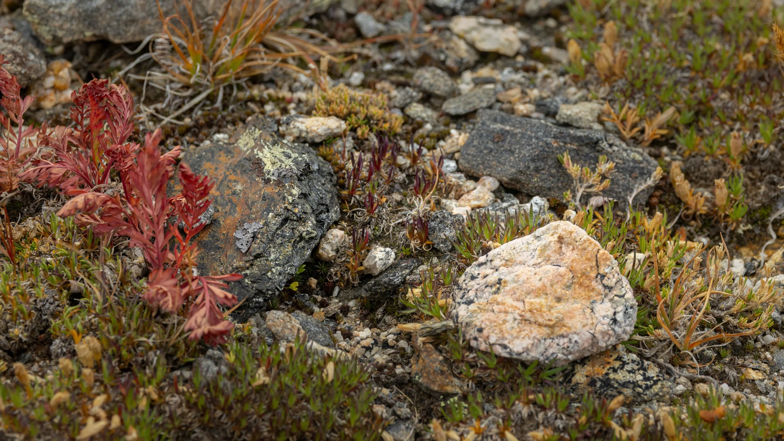
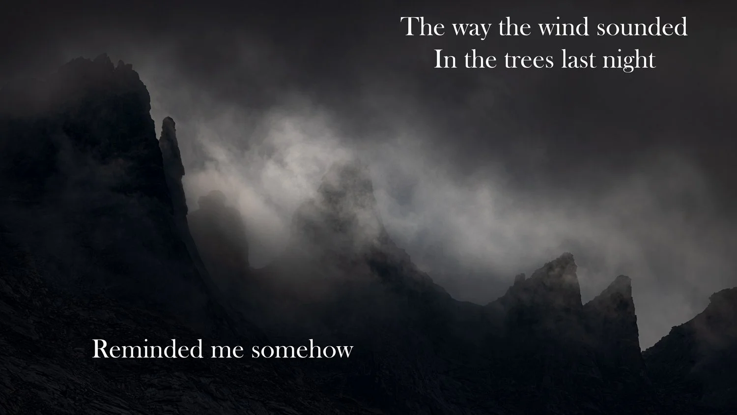
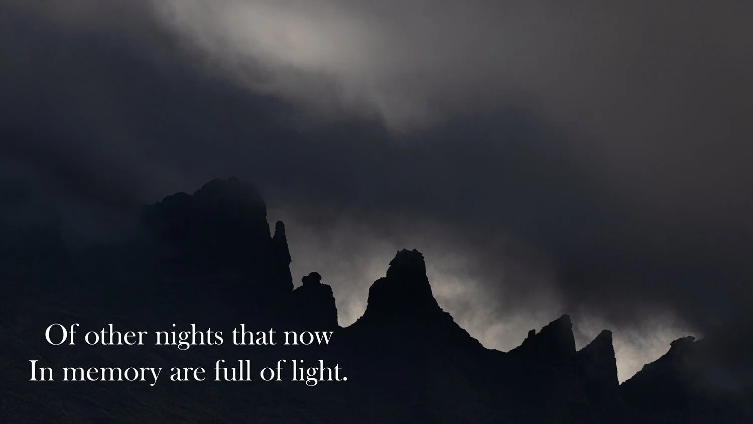
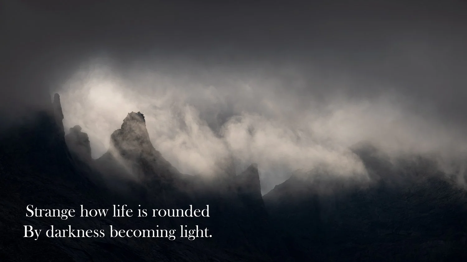
Gordon Henry, Jr. -- Sleeping in the Rain, part 2

Early last year, I used some of the lines from Anishinaabe poet Gordon Henry, Jr.’s poem Sleeping in the Rain to recall my mother and grandmother. A few years ago, I posted some images from one of my favorite places, the Pigeon River in Pisgah National Forest, North Carolina.

East Fork of the Pigeon River

In that post, I mentioned the night I solo hiked and camped along the river. It began raining and I went into the tent early. It rained all night. After sleeping in the rain, I awoke to a river far over its banks ready to hit my campsite.

I worked two summers in western North Carolina and a college roommate lived there. My heart broke watching images of Hurricane Helene devastating mountain roads I’d travelled and rivers I’d peacefully floated down. I thought of the morning I woke scared with a wild river threatening me which was just a minor flood compared to the devastation and fear descending now. What have we done that such a place hundreds of miles from any coast is threatened by a hurricane?

As a close election approaches, I know my anxiety will only increase in these next weeks. Will we travel a path of more destruction or of healing?

Gordon Henry ends Sleeping in the Rain with Part XI:

As the old woman touches me it is like air holding smoke. I am something else. Vestiges of prayer, gathered in a hollow church. Another kind of reflection on the outsides of her black glasses. A reflection that cries when eyes leave it.

As the old woman touches me it is like air holding smoke. I am something else. Fleet anguish, like flying shadows. A moment vanishing. A moment taken, as I am being.

As the old woman touches me it is like air holding smoke. It spins it. It grasps it. It shapes it in a wish. After that there is a mist too fine to see.

Gordon reads the entire poem, and others, here.

Aurora

My mother grew up in Minnesota, and would tell stories of the northern lights. I’ve longer to see them. When I visited there last month, predictions of the lights were strong. On clear nights, I got up to look. And saw nothing. Lots and lots of stars. No aurora.

When my son Dan and I went to Iceland a couple years ago, one night the prediction for lights were strong, so we arose in the early hours, drove to an ice covered bay to look north. And saw no magical lights.

Dan texted last night and said the geomagnetic storm slamming into Earth was a giving prediction of a light display here peaking soon. We went to a nearby forest preserve where we could look over a lake. Gates locked. We went to another preserve were we could look over a horse track that we knew would be open since we went there to see a comet a few years before.

We saw nothing. Our cameras—as in the first image posted above—with sensors more sensitive than our eyes did show some faint color in the northwest. We chatted and waited. We were thinking of leaving, when he took a photo with his phone and said, “look there.” Sure enough, your eyes could start to make out some color.

And the show began. Red and greens grew and moved across reaching far overhead. We are at the peak of the 11-year solar cycle, so hopefully this Fall will bring more such shows.

Gooseberry Falls, Part 2

Last month’s visit to Minnesota’s Gooseberry Falls State Park was near sunset, so the evening light reflected off the rocks, autumn trees and evergreens into the white water below the falls.

The third poem in T.S. Eliot’s Four Quartets is titled Dry Salvages. He describes the actual Dry Salvages as “a small group of rocks, with a beacon, off the N.E. coast of Cape Ann, Massachusetts.” Eliot’s ancestors had migrated to America near this place and settled and fished in the area, and he references generations of people. My generations have visited the smaller rocks by Gooseberry Falls. Here are some excerpts of the poem with illuminated scenes below the falls that I lost time in.

It seems, as one becomes older,

That the past has another pattern, and ceases to be a mere

sequence—

Or even development:

The moments of happiness—not the sense of well-being,

Fruition, fulfilment, security or affection,

Or even a very good dinner, but the sudden illumination—

We had the experience but missed the meaning,

And approach to the meaning restores the experience

In a different form, beyond any meaning

We can assign to happiness.

I have said before

That the past experience revived in the meaning

Is not the experience of one life only

But of many generations—not forgetting

Something that is probably quite ineffable:

Gooseberry Falls, Part 1

Some places carve deep within. For me, one is Gooseberry Falls State Park on the North Shore of Minnesota. The park is the first major scenic spot north of Duluth on the spectacular coastline of Lake Superior. It is about a hour and half south of the small town my mom grew up in near the Boundary Waters. Since they didn’t have a car, she likely never visited until she was grown and returned to visit.

Gooseberry Falls, 1950s

The picture above is of my mom visiting in the early 1950s with two of her nieces who lived nearby. I can’t find images of me as a kid there when my parents took me to visit, but we returned when our boys were young and Joe displayed his love of rock climbing.

Middle Falls 1993

Over a billion years ago, the continent started to split apart but never fully separated. Ice Age glaciers eventually carved Lake Superior out of part of the rift. Before then lava flowed over the area, and the basalt rocks of the falls were later exposed when the Canadian Shield rose above the shores of the great lake.

Lower Falls, 2005

My son Dan and I visited during Spring Break 2005 when we were hunting for photos of the incursion of Great Grey Owls into Minnesota that winter. We succeeded in seeing several owls, and of course visited Gooseberry Falls.

There had been three large lava flows and each flow resulted in the upper, middle and lower falls.

Double Deer, Gooseberry River, dawn 2010

I visited again a few autumns later, and my hike along the river to the lake resulted in spotting the rare three-eyed deer.

On that trip I discovered a great campsite right on the shore of Lake Superior at another state park a little further north. I was able to reserve that spot again last month, so it was time for a return visit. Chance enjoyed climbing the rocks as much as Joe had.

Lower Falls, 2024

The falls were as beautiful and peaceful as ever.

Middle Falls, 2024

Borderline

Over thirty years ago, I represented U.S. Customs agents working at the Grand Portage, Minnesota border crossing in an arbitration. The hearing was held about 80 miles south in the big city of Duluth. I’ve been up the north shore of Lake Superior many times, but never as far as the border until this month.

I see a borderline
Like a barbed wire fence
Strung tight strung tense
Prickling with pretense
A borderline

Joni Mitchell

Pigeon River, the border into Ontario, Canada

The Pigeon River empties some of the water from Western Canada into Lake Superior. This was a major travelling and trading route for Natives and later for French fur trappers and traders from the Canadian interior to the Great Lakes. As it nears Lake Superior, the river cuts a gorge and has high waterfalls making water navigation impossible. A few miles upstream, Natives created an 8.5 mile Grand Portage from the river to Lake Superior which route the Ojibwe called Gitchi Onigaming. A place of connection; not a border.

Why are you smirking at your friend?
Is this to be the night when
All well-wishing ends?
All credibility revoked?
Thin skin thick jokes!
Can we blame it on the smoke,
This borderline?

Smoky Gichigami (Great Lake) from Grand Portage cliff

The French built a trading post at the Lake to ship tons of furs to Montreal and Europe. After the Seven Years War and the Treaty of Paris, the British North West Trading Company controlled the post. It continued to be a gathering spot. A place where natives and colonizers worked and lived together. Not really a border.

Every bristling shaft of pride
Church or nation
Team or tribe
Every notion we subscribe to
Is just a borderline

High Falls, Grand Portage Minnesota State Park and Pigeon River Provincial Park, Ontario

The Grand Portage continued to be disputed territory between England and the new United States. The border was not resolved until 1842 when an agreement was reached on land between Maine and New Brunswick and Minnesota and Ontario. The border here was agreed to be the Pigeon River, though it also recognized that Canadians had free access to the Grand Portage trail that was now entirely within the United States. The U.S. government and local tribes continued to dispute control of the land, and as was typical, several treaties were made and broken.

Good or bad we think we know
As if thinking makes things so!
All convictions grow along a borderline

Cascades on the Pigeon River

The Pigeon River Provincial Park runs along the north side of the river and Grand Portage State Park envelopes the south side where a trail loops along the river so you can hike to the falls and cascades that prevented water travel to Lake Superior.

Further south where the Gitchi Onigaming reached Gitchigami and the trading post was built, Congress established the 740 acre Grand Portage National Monument in the 1950s. The park included much land donated by the Grand Portage Band of the Lake Superior Chippewa who helped draft the legislation which included rights to native involvement in managing and maintaining the Monument. After more disputes among tribes and the U.S Government over protected lands across the country, the Self-Governance Act was passed in 1994. This Act gave tribes the authority to take over federal programs that serve or benefit the tribes themselves and provides funding for such efforts, and later the Chippewa (Anishinabi) reached an agreement with the National Park Service on staffing and interpreting Grand Portage.

Smug in your jaded expertise
You scathe the wonder world
And you praise barbarity
In this illusionary place
This scared hard-edged rat race
All liberty is laced with
Borderlines

Middle Falls of the Pigeon River

No wall exists along the border. You can waive to hikers on the nation across the water, or simply wade across. The legal crossing site is much further down river near the Lake.

You snipe so steady
You snub so snide
So ripe and ready
To diminish and deride!

Borderline

My favorite Canadian songwriter had a late career powerful song called Borderline in which she lamented the separations we create. I’ve quoted many of the verses. Though written 30 years ago (about the time I arbitrated a dispute at Grand Portage), it certainly applies to times today. The album Turbulent Indigo was Joni Mitchell’s brutal indictment of AIDS, sexual, spousal, environmental abuses, but awarded her a first Grammy in a quarter century.

You're so quick to condescend
My opinionated friend
All you deface all you defend
Is just a borderline
Just a borderline
Another borderline
Just a borderline

from Joni Mitchell, Borderline, copyright 1994

Middle Falls, Pigeon River, Minnesota/Ontario

As you hike along the river separating neighboring countries, no wall exists. The governor of the state on the south side of the river is fighting the one so quick to condescend . . so ripe and ready to diminish and deride. We all need to join that fight, and the one to create rivers to connect, not to separate.

A few years ago, I posted some images and quotes from Joni Mitchell songs. It included a quote from Borderline and an image of a river where there is a wall. I hope you have a chance to listen to Borderline, and if you do, I’d suggest the version she redid in 2002 on her album Travelogue. Just reading the versus, the words sound so harsh. Listening to the orchestration and her older voice, it is such a lament, a crying river.

Utah BLM land

Nearly two-thirds of Utah’s land is managed by the federal government. And nearly two-thirds of all of that is managed by the Bureau of Land Management (BLM). This month, Utah petitioned the Supreme Court for the state to acquire about half of that land. The stated goals include state control over the land including energy production and mineral extraction. Let’s begin a tour at sunrise.

Slot canyons carve into the edge of the San Rafael Swell, and some like Little Wild Horse Canyon you can easily hike into.

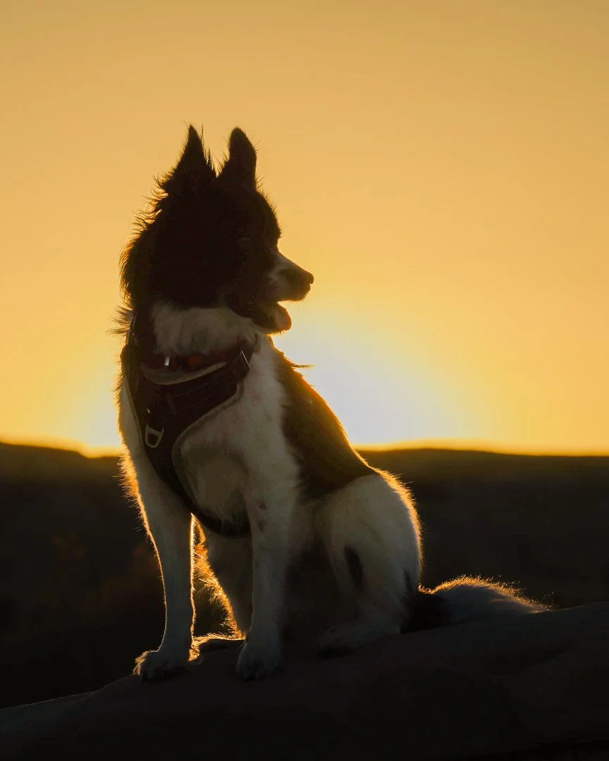
Little Wild Horse Canyon with Little Dog

BLM’s Factory Butte Recreation Area allows ATV access through the maze of eroded sandstone. I got a hint of the wildflowers that sometimes explode on the desert floor in the spring.

Factory Butte, Utah

Near Factory Butte, Goblin Valley State Park and Little Wild Horse Canyon are the Big Wild Horse Mesa and Middle Wild Horse Mesa Wilderness areas where no powered vehicles or man-made structures are allowed.

San Rafael Swell

Some BLM land like the wilderness area are challenging to access. Others are easy. A short drive from the city of St. George in the southwest part of the state is the Red Cliffs Dinosaur Track Site.

Red Cliffs Dinosaur Tracks, St. George, Utah

The Navajo Sandstone was formed during the Jurassic Period, and there’s evidence of others who hiked this area in that era.

Montezuma Canyon in southeast Utah offers interesting scenery, but the highlights are the archeological sites throughout the canyon. BLM has restored and maintained some, so that you can even climb atop and then down into kivas.

Three Kiva Pueblo, Montezuma Canyon

Nearby is another area filled with Ancestral Puebloan homes, petroglyphs and pictographs that runs along Butler Wash. The land is a hodgepodge of BLM, Forest Service and tribal lands managed together as part of Bears Ears National Monument.

Butler Wash, Bears Ears National Monument

Comb Ridge, that rise above Butler Wash, is filled with evidence of the Ancestral Puebloans who lived here. Many descendant tribes sought to have the land protected, and one of President Obama’s last actions was to establish the Monument through Executive Order under the Antiquities Act. Soon, as the first president to rescind an Antiquities Act order, the next president reopened much of the land to mineral extraction. While legal challenges wound through the courts, President Biden reestablished the National Monument designation when he came into office. This again is being challenged through the newly filed lawsuit by the Utah, though it is unclear what, if any, parts of Bears Ears may be affected.

Comb Ridge, Bears Ears National Monument

Near the Navajo tribal Monument Valley Park is a similar mesa filled with sandstone monoliths managed by BLM called Valley of the Gods. We’ll conclude our BLM tour and spend the night here as the sun sets.

Valley of the Gods, San Juan County, Utah

Utah State Parks

Two weeks ago, I posted images from Utah’s five National Parks. The state has some remarkable state parks that might be designated as national parks elsewhere. Close to the west side of Zion National Park is the expansive (and less crowded) Snow Canyon State Park.

Snow Canyon State Park, Utah

As I noted in an earlier post about this park, “Snow” is not a water feature but the name of the brothers who settled in the area. They likely arrived on horseback.

Snow Canyon State Park

South of Capitol Reef National Park is the extraordinary landscape formed by the San Rafael Swell. Wrapped in that area is Goblin Valley State Park.

Sunrise, Goblin Valley State Park, Utah

More images of Goblin Valley and the surrounding area can by found here. The main feature of the park is the area filled with all the goblins.

Goblin Valley

Separated from the rest of Arizona by the Colorado River and the impassable Grand Canyon National Park is the area of the state called the “Arizona Strip.” Just north of the state border is Utah’s Coral Pink Sand Dunes State Park.

Coral Pink Sand Dunes State Park, Utah

Unfortunately for photographers, the state allows vehicles to drive on the dunes, so finding areas to shoot without tracks running across the dunes is a challenge. Not far away, is

Coral Pink Sand Dunes

East of Bryce Canyon National Park are the red sandstone spires of Kodachrome Basin State Park.

Kodachrome Basin State Park, Utah

Kodachrome, of course, was the popular, color-forward slide film produced by the Kodak company. The National Geographic Society popularized the area in the 1940s by calling it Kodachrome Basin. In a mutually beneficial marketing scheme, the state got permission to give the newly established park the trademarked name. I posted more images from the park here. Hope you can visit some of these parks if you head out to visit the Big Five national parks.

Kodachrome Basin State Park

Horicon Marsh walk

Two years ago, I posted some images of Whopping Cranes and other fall visitors at Horicon Marsh National Wildlife Refuge in Wisconsin. Driving back from some work in Central Wisconsin, I stopped at the refuge to stretch my legs and hopefully see some birds.

Juvenile Black-crowned Night Herons

I hiked along the Old Marsh Road trail which closes on September 1 when the fall migration gets busy. After re-opening in the winter, the trail closes again for the spring migration. This time of year, it’s mostly summer residents.

Great Blue Heron

I chatted with the only other hiker I encountered on the trail. He lived nearby and was looking for a rare visiting bird that had been reported. He didn’t spot the reported Snowy Egret, but did see 30 species during his morning walk.

Canada Goose

A couple geese were on the trail and reluctantly moved to the side to let me walk by, but certainly cackled to let me know they were not happy to need to get out of the way.

White Pelican

The most common bird were Pelicans who were swimming in the water, standing on mudbars and flying overhead. Growing up, I’d see the white pelicans wintering in Florida. I’m still surprised when I see them in the middle of the continent. Several Sandhill Cranes and raptors flew in the distance, but not close enough for photos.

Geese, Cormorants and Pelicans

A family of Trumpeter Swans with four cygnets were on a small island near the trail, but wouldn’t pose for photos. Fortunately, some others swam by who were willing to show their best sides.

Trumpeter Swans (and White Pelicans with Canada Geese)

The 20 to 30 pounds swans are the largest birds in the area. Likely the smallest waterbirds are the Pied-billed Grebes—and possibly the cutest. Even smaller and cuter is a juvenile.

Pied-billed Grebe

Hope you enjoyed the stroll and that these birds have a good trip south soon.

Utah's Big Five -- A to Z

Utah is home to five spectacular National Parks, often referred to as the Big 5. All are well worth an extended visit, but here’s a quick trip from A to Z.

Double Arch, Arches National Park

65 million years ago, this was a dry seabed. Then the sandstone was buried. Forces pushed it around creating lumps and warps. Then the whole area pushed up, and erosion started carving away. Rain erodes the stones and creates desert varnish to further color and streak the red sandstone.

Arches National Park has over 2.000 natural stone arches—the densest concentration in the world. Double Arch is the second widest as well as the tallest arch in the park. Can you see the people hiking up the trail underneath?

Mesa Arch, Canyonlands National Park

Just across from Arches NP is Canyonlands National Park. While this park is more known for the desert canyons and other features carved by the Colorado and Green Rivers, it too has arches and the most famous is Mesa Arch sitting right on the edge of the canyon in the Island in the Sky section of the park. Sunrise light hits below the arch creating a glow. Busloads of people were here just a few minutes earlier. We watched sunrise elsewhere, and as the hoards left, we still had plenty of the light show to enjoy in a more peaceful setting.

Temple of the Sun, Cathedral Valley, Capitol Reef National Park

The northernmost of the Big 5 is Capitol Reef National Park. It’s my second favorite perhaps in part because it is the least visited. The Cathedral Valley section of the park was added into the park boundaries in the 1970s and is only accessible by high clearance vehicles. The Temple of the Sun (and nearby Temple of the Moon) are right on the edge of the park. I returned to visit a couple years later to camp nearby and enjoy these rock monoliths alone under the stary sky.

Sunset Point, Bryce Canyon National Park

While named a “canyon,” the park is really an amphitheater of carved hoodoos on the edge of a high plateau. The park has by far the highest elevation of the Utah parks at over 9,000 feet, so is a relief from the summer heat, or like this image shows, it provides frigid conditions in the winter.

Watchman Mountain and Virgin River, Zion National Park

We made it to Z, and the third most visited national park in the country—a for good reason. The main part of the park is Zion Canyon carved by the Virgin River. You can hike along and in the river, up high on the tops of the mountains, in arid, slick sandstone or in dripping desert oases. Or just enjoy the view.

Leaves of Grace

Our old home was close to a trail along which ran a remnant of original prairie. Frequent walks there let us delight in the seasons of prairie grasses and flowers, and late July and August would put the best display on. Fortunately, we’ve found some other prairie paths nearby.

Herrick Lake Forest Preserve, DuPage County, Illinois

As we walked along this abundance, our daughter sent a message that Joe Biden had finally reached his decision to leave the race for office. The week would display the honor he has led his public life and how to leave with grace.

A couple days later, as I waited for a haircut, my barber had a copy of Leaves of Grass. I read through some of I Celebrate Myself which I remember reading in high school. Walt Whitman lived in Washington and would often see President Lincoln riding his horse or in his buggy. After the assassination, he wrote the beautiful When Lilacs Last in the Dooryard Bloom’d. So when lilacs bloom in the spring, I think Lincoln and of my mother who loved these flowers that bloom near Mothers Day and which I’d sometimes clip and bring to Florida when I’d visit her at that time. Now perhaps when the lilac-colored wild bergamot blooms, I’ll think of Biden’s leave of grace.

Have you reckoned a thousand acres much?

Have you reckoned the earth much?

Have you practiced so long to learn to read?

Have you felt so proud to get at the meaning of poems?

Stop this day and night with me and you shall possess the origin of all poems,

You shall possess the good of the earth and sun . . . . there are millions of suns left,

You shall no longer take things at second or third hand . . . . nor look through the  
  eyes of the dead . . . . nor feed on the spectres in books,

You shall not look through my eyes either, nor take things from me,

You shall listen to all sides and filter them from yourself.

I have heard what the talkers were talking . . . . the talk of the beginning and the end,

But I do not talk of the beginning or the end.

There was never any more inception than there is now,

Nor any more youth or age than there is now;

And will never be any more perfection than there is now,

Nor any more heaven or hell than there is now.

. . . .

Walt Whitman, from I Celebrate Myself in Leaves of Grass 1855

Conrad Aiken - "the shoreless shore of silence"

Pulitzer Prize winning poet Conrad Aiken was born and died in Savannah, Georgia which is just north of Cumberland Island where the last posts’ images were created. Here are some scenes of the shore a little farther away in north Florida accompanied by words of Aiken.

Coquina surf

Then came I to the shoreless shore of silence,

Where never summer was nor shade of tree,

Nor sound of water, nor sweet light of sun,

But only nothing and the shore of nothing,

Above, below, around, and in my heart:

Where day was not, not night, nor space, nor time,

Where no bird sang, save him of memory,

Nor footstep marked upon the marl, to guide

My halting footstep; and I turned for terror,

Seeking in vain the Pole Star of my thought;

[An aside: marl is what is used for roadbeds, fill, paths, in Florida. Behind the house I grew up in was an old marl pit that had been excavated and filled with water, and where I swam and fished. Our driveway was marl, and I’d walk it finding ancient shark teeth and tiny fossils. Some of the marl was possibly coquina rock millions of years before.]

Where it was blown among the shapeless clouds,

And gone as soon as seen, and scarce recalled,

Its image lost and I directionless;

Alone upon the brown sad edge of chaos,

In the wan evening that was evening always;

Then closed my eyes upon the sea of nothing

While memory brought back a sea more bright,

With long, long waves of light, and the swift sun,

And the good trees that bowed upon the wind;

And stood until grown dizzy with that dream;

Seeking in all that joy of things remembered

One image, one the dearest, one most bright,

. . . .

Conrad Aiken, from Preludes for Memnon, 1931

The excerpt is from section XXXIII of that VERY long poem (XX more sections to follow!)

Wildlife (and death) on Cumberland Island

The previous two posts ventured through two of the ecosystems of Cumberland Island National Seashore—Live Oak forest and sand dunes. Another large area of the island are salt marshes where fresh and salt water mix. In one marsh was a notable resident of the island—feral horses.

cumberland island national seashore, salt marsh, feral horse, sabal palm, grazing, water stream

At low tide, the mud of the salt marsh is literally crawling with fiddler crabs. How did they get such a name? The males wave their large claw to attract females. Apparently, it looks like playing a fiddle.

Fiddler crab

The walk along the wide sandy beach at low tide held lots of gulls, skimmers, oystercatchers and plovers dodging the surf. I spotted a large black duck that I later identified as a new bird to add to my life list—a Black Scoter.

Black Scoter

But then up near the high tide line, it looked like some large birds resting. As I walked up, I realized there were several Laughing Gulls. But they were in very bad shape, dying. Likely victims of bird flu, so I kept my distance. Also, many jelly fish had been left behind as the tide ebbed.

Further up the beach, several vultures were feeding and as I walked up, a carcass of deer was hollowed out. As I got ready to head back up the dunes, a baby shark scythed in the seaweed.

Enough of that part of the circle of life. Let’s look at more of the feral horses.

Legend holds these were left behind by 16th century Spanish explorers, but recent DNA studies show they were more likely from three centuries later abandoned at the enslaved cotton plantations and then from the Carnegie family’s beach homes that are now ruins in the park.

After later generations of the Carnegies could not afford life on the island, they donated the land to the Park Service, which eventually acquired most of the entire island and now is a refuge on the Atlantic coast. The horses are not managed, and simply try to survive by grazing on the limited vegetation. As you can see, they are thin, but are the largest herd of unmanaged feral horses on the Atlantic coast.

A walk to the beach

Last week I posted some images of the Live Oaks of Cumberland Island National Seashore. Once you leave the oak forest, you enter the sand dunes before you get to the beach.

Sea oats

One of the best named plants colonizes the drifting sand: Railroad vine.

Railroad vine

In pockets where soil has begun to establish are explosions of wildflowers.

But it is the sea oats that steal the show.

One thing I’ve learned in photography, but too often forget, is to turn around. All these beautiful things beside and in front of you, but what about behind. Surprise.

Time to see the sea over the last dune.

Live Oak

I have many wonderful memories of the Southern Live Oak. Two grew in my front yard in Florida. They were their own ecosystem with lizards crawling among the roots swirling at the bottom, birds pecking and singing above, moss, lichen and ferns growing in the branches.

Southern Live Oak and Spanish Moss

Just north of the St. Mary’s River which is the boundary between Florida and Georgia lies the barrier island of Cumberland Island National Seashore. The center of the island is filled with the Southern Live Oak, the state tree of Georgia. The salt spray and winds are natural pruning agents that keep these trees spreading out relatively close to the ground.

Palmetto and Live Oak

A hardwood hammock near where I grew up was named Deer Head Hammock for the large Live Oak that greeted you as you walked that looked like the animal. Another nearby hammock was named after a mentor of mine—Erna Nixon. The Live Oak can live for centuries. Mrs. Nixon named the two largest trees John and Tom, for John Adams and Thomas Jefferson who would’ve been alive when those trees started (and who both died 198 years ago on July 4th on the 50th anniversary of the Declaration of Independence.)

But on a barrier island with sand dunes near the shore, a tree may not live as long if it gets covered in drifting sand. When the Spanish and British started colonizing the area, they prized the Live Oak to harvest to repair or build new sailing vessels.

The state tree of Florida is the Sabal Palm. You can see one in the image above. Here near the FL-GA line it is appropriate to find a pair snuggling.

I hope you get a chance to get lost for a while in the embrace of a Southern Live Oak.

Sedona -- Pull over

I haven’t posted any poems lately, so let’s read some Mary Oliver. With it are some pictures of a scene that required me to pull the car over and capture the morning sky near Sedona, Arizona. Then I had to find a path and walk down to river that carved out the valley, and enjoy some tree tops and bottoms. And watch the trees and rocks dancing together.

red rocks, sedona, Arizona, bare trees, scalloped clouds

Wild Geese

You do not have to be good.

You do not have to walk on your knees

for a hundred miles through the desert repenting.

You only have to let the soft animal of your body

love what it loves.

Tell me about despair, yours, and I will tell you mine.

Meanwhile the world goes on.

Meanwhile the sun and the clear pebbles of the rain

are moving across the landscapes,

over the prairies and the deep trees,

the mountains and the rivers.

maze of tree branches, mary oliver, wild geese, sedona, arizona

Meanwhile the wild geese, high in the clean blue air,

are heading home again.

Whoever you are, no matter how lonely,

the world offers itself to your imagination,

calls to you like the wild geese, harsh and exciting -

over and over announcing your place

in the family of things.

Mary Oliver, Wild Geese, 2004

If you’d like to hear Mary Oliver reading this poem, click here.

And if you want to see wild geese — scroll down.

Pulling fur on Lake Estes trail

Had a little bit of time on our last morning in Colorado, so headed over to a local parks and rec area nearby called Lake Estes trail. A disk golf course meandered on one side and fly fishers filled the water on the other. There were also fisher fliers.

Osprey

Another adorable family played in the water.

Canada Geese

There was some golden singing in the bushes.

Yellow Warbler

As well as birds seen many times before, I got several to add to my life list, including this one out in the water.

Gadwell

And another bobbed in the creek.

Northern Waterthrush

My most enjoyable encounters were with a common, gregarious show off. While standing looking at some other birds, a magpie landed right next to me on a dead branch. It had a big red berry in its beak. We chatted, and I told it that I had a long lens on and it was way too close for a portrait. It then flew into a nearby bush and to its nest to feed its young. I was able to get a shot of one a little farther away posing with a mountain background in full coat and tails.

Black-billed Magpie

My favorite wildlife encounter of the trip happened as I walked back to the car. I spotted an elk laying under some trees just off the trail. As I looked longer, I saw three elk cows relaxing on the ground. Looking closer still, I noticed magpies were pecking and cleaning the elk’s hooves.

This was a show to sit and enjoy for a while. The elk’s coat was blotchy, losing its long winter fur, and the magpies were jumping up to its haunches and pulling out the long fur. The elk seemed very content to have this team grooming her. Then one of bird really focused on some fur that wasn’t coming off. It dug its beak in and pulled and pulled. The elk had enough, swung her head back, and the magpie flew off. The bird returned, and seemed to apologize. The show was over. Time to get to the car, and head to airport to take wing.

Rocky Mountain Arsenal National Wildlife Refuge

Close to home, I wander occasionally at the Midewin National Tallgrass Prairie, primarily to see birds and wildlife and just to enjoy the prairie. I’ve posted some images from there. A good friend was instrumental in helping to convert that land from use as the Joliet Arsenal into the current state as a major intermodal transport center, Abraham Lincoln National Cemetery and the Midewin Prairie.

On the far western edge of North America’s prairie another army post, the Rocky Mountain Arsenal, sat, unsurprisingly, near the Rocky Mountains. Much of that land has been converted into a National Wildlife Refuge.

American Bison at Rocky Mountain National Wildlife Refuge

While Midewin has also introduced bison into the refuge, I don’t think they have prairie dogs yet. Plenty of those critters wander through Rocky Mountain Arsenal NWR.

Prairie dog in Asters

I added a few birds to my life list while enjoying the trails, such as the Swainson’s Hawk soaring above. I still am surprised to see White Pelicans in the West, thinking they could only be in Florida waters where I saw them growing up, as they swam in a big circle and then closed the circle to trap fish.

Swainson’s Hawk and American White Pelicans

More birds are in the trees. The wonderful Merlin App can even identify them by their songs which helps tell me if I should stop and search more for birds I’ve never seen before.

Spotted Towhee, Blue-winged Warbler, Northern Flicker

And many birds forage on the ground and walk along the trail with me or just to the sides.

Horned Lark and Lark Sparrow

Providing habitat for all are the western prairie grasses which always seem to be swaying in the wind.

Wild Basin, Rocky Mountain National Park

On the east side of Rocky Mountain National Park and south of the heavily visited entrances near Estes Park is an area named Wild Basin.

A spring hike along trails up the North Saint Vrain Creek is filled with frogs calls, squirrel chatter and bird song.

Dark-eyed Junco

The pines rise far above you. A moose was too hidden to photograph, but the trees provide patient subjects.

You can stop along the trail to enjoy Copeland Falls.

And sit by the falls to enjoy the rock shapes, the lichens on them, and the water flowing over and around.

The trail continues climbing upstream along the creek. Around 9,000 feet elevation, the ground is covered with snow, and you come to Calypso Cascades.

Another chance to enjoy the light playing on the rocks and the water.

Might that be a fish jumping in the water?

Time to head back downstream toward the trailhead, and through some aspen.

And revel in the tall pines.

Sakura at the Palace

Large gardens surround the palace in central Kyoto. The cherry blossoms were just beginning to bloom.

Sakura, or cherry blossoms, are an important part of Japanese culture. People gathered on blankets under the trees, posed for pictures, and walked among the blossoming trees.

Sakura has many meanings — life and death, beauty and violence. The season is one of vitality and vibrancy, yet the short-lived flowers remind one of the fleeting nature of life.

The gardens, of course, have far more than the fleeting blossoms. Some pines have enormous bark patches.

Ponds dot through the grounds, and Japanese egrets have time to reflect.

As do herons.

Throughout the country, you are never far from shrines. And reflections are common there as well.

A person may clap their hands to attract the attention of the gods. Also, a suzu rope hangs next to the bell at a Shinto shrine that can be shaken to ring the bell as well. So here’s a Sakura Suzu to end our walk through the palace garden.

The Garden of Origins and Journeys

After a very long day of traveling, and a good night’s sleep, what better place to begin a visit to Japan than at the Garden of Origins and Journeys.

This UNESCO World Heritage Site has many names. Long, long ago Prince Shotoku built a villa here, and in 731 Buddhist priest and bodhisattva Gyoki founded Saihoji 西芳寺 temple. You start your visit in the temple, with shoes off tracing the words of a sutra.

Hundreds of years later, in 1339 Master Zen gardener Muso Soseki restored the temple for the Rinzai Sect. Many noblemen and shoguns visited the temple on their trips to Kyoto. Tea ceremony houses remain throughout the grounds.

The temple also goes by the name Kokedera 苔寺 which translates to Moss Temple. There are said to be over 120 varieties of moss on the grounds. Let’s look at some.

The garden is closed in January and February when the mosses rest. Covered with leaves. When the time to wake comes, gardeners tend the site daily, sweeping leaves off the moss.

The pond in the middle of the garden is shaped like the Japanese character for “heart” or “mind.” Boats once took visitors to three islands in the pond— Horai (Endless Happiness), Tsuru (Crane), and Kame (Turtle).

Rocks in the pond are said to be ships anchored off the coast of Paradise.

Muso Soseki who designed the garden in the 14th century wrote, “It is delusion to think that the pure world of paradise and the profane world of the present are different.”

The temple and gardens are only open for a few hours each day. The admission cost is much higher than any other gardens in Kyoto. The city buses stop a long distance away, as must tour buses, to keep the area quiet, reduce pollution, and let this piece of paradise remain still to be able to journey while in rooted in the Earth.