House(s) on Fire

I generally focus on nature images in this photo blog, but while today’s subject is human made, it fits so well into its setting it seems a part of the natural environment.

House on Fire, Bears Ears National Monument, Utah

These granaries were built under the cliff to store food in this harsh environment to store for hard years. Harvests are completely unpredictable, but the Ancestral Puebloans maintained a population in the Four Corners area larger than there is today by living sustainably in this desert. This site is up Mule Canyon on Cedar Mesa. The spectacular streaks of desert patina and the flaked sandstone give the wonderful appearance of flames. I can image the builders being quite proud of the beauty of this creation for storage.

Stepping back provides a very different view. I visited in the late afternoon and as you can see, I was waiting for the sun to get lower in the west to light up roof. Unfortunately, the clouds got heavier, and the sun less intense and the light show didn’t occur. Still, a remarkable site.

Unfortunately, these were not the only flames on this trip. One reason to plan this trip in late spring was to avoid fires. It didn’t work.

Bent’s Old Fort National Historic Site, Colorado

This site was closed the week before I arrived because of this fire. There were still fire crews working blazes nearby. Fortunately, the 1840s reconstructed Santa Fe trail trading post was unharmed, but all trails were still closed as they assessed damage. The ranger said the old oak tree in front would need to come down since it is next to the trail approaching the fort. The hawk who sits sentinel there will need a new home.

Cerro Pelado fire, Santa Fe National Forest, New Mexico

Even in late April, the New Mexico news was dominated by fires throughout the state. When I returned in early May, I checked websites and discovered by plan to visit Valles Caldera National Preserve would not occur because it was closed due to this fire. Instead, I visited nearby Manhattan Project National Historic Site in smoky Los Alamos, and Bandelier National Monument on the east side of this fire. Fortunately, the air was clear there when I visited, but it would soon be closed for three weeks as the wind shifted and the fire got closer. The fire is nearly contained, but it is still burning in June.
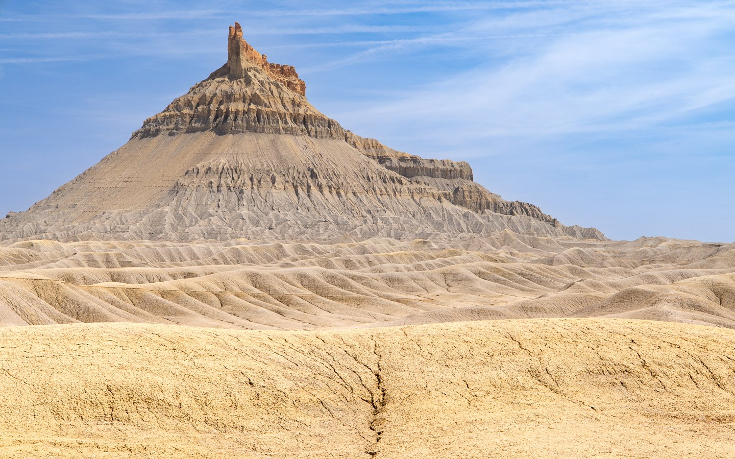
Pronghorn

Of course, wildlife and ecosystems are used to fire on the prairie, but they face enormous challenges in the catastrophic changes occurring. The front page of today’s New York Times has graphics and images of the conditions in New Mexico of extreme drought and rising temperatures. As I crossed the northeast corner of the state, I had to go around the Hermits Peak and Calf Canyon fires. They have now joined and are the largest fire in the state’s history. I visited Pecos National Historic Park on the west side of the fire, but it soon closed for two weeks due to fire risk and has reopened but closed its trails.

Fort Union National Monument, New Mexico

Massive Fort Union was the largest outpost on the Santa Fe Trail. A civil war battle was fought here, but its growth occurred following the war to support the travelers on the Trail and to be the logistics center for Indian removal throughout the southwest. The image above is of the ruins of the massive supply buildings and are reminders that the genocide of Native Americans was a huge, coordinated effort.

Officer quarters, Fort Union NM

The Calf Canyon fire, as the others, started from prescribed burns meant to reduce fire risk. The others quickly got out of control, but this one silently burned since January and once merged with the Hermits Peak fire has consumed over 350,000 acres. And is still burning. Fort Union closed for a couple weeks, but has reopened with fire restrictions. Reaping what was sown.

Valley of the Gods

On the Navajo Nation along the Arizona-Utah border lies Monument Valley. Its iconic Southwest movie backgrounds have places names such as John Ford and Forest Gump points. Just north, is a smaller version of red sandstone monoliths and buttes named Valley of the Gods.

Cedar Mesa and Valley of the Gods

The area is now the southwest corner of Bears Ears National Monument. We arrived in the late afternoon with the mist silhouetting the buttes rising to Cedar Mesa in the west. The next morning we drove up a bizarre, twisting road called the Moki Dugway to get to the top of the Mesa. The next image is from that road looking back down into the Valley again backlit by the sun.

We camped below a feature named Sitting Hen Butte. It’s hard to appreciate the size of it in the first drone image below, but in the second you can compare the white boulders to the size of my car in our campsite.

Cracked eggs below Sitting Hen

In the next image, the drone is above Sitting Hen and looking toward its companion Rooster Butte. As a drone novice, I flew the drone behind Sitting Hen and lost the signal. Fortunately, the drone is smarter than I, and after a few minutes of worry, returned to the nest.

I’d chosen the site below the buttes in hopes of a foreground for a night sky image with the chickens on their roosts.

In the early morning, more clouds were forming as the sky began to brighten.

We got back on the seventeen mile road that winds through the valley to get some images in the early morning light.

Though Monument Valley has served as a backdrop of many movies, Valley of the Gods seems to have much fewer scenes. Apparently, a couple Doctor Who episodes were filmed here. In one of the most bizarre movies ever, John Malkovich starred as the world’s richest man in the 2020 movie Valley of the Gods in which he buys the place for mineral exploitation. You can watch it on Amazon Prime—or at least the first 5 minutes which has some nice images of the Waterfold Pocket and Cathedral of the Sun in Capitol Reef, the Moki Dugway, Valley of the Gods, Shiprock Butte (on which Malkovich’s character builds his estate), and the Goosenecks which is just on the other side of Cedar Mesa. The next picture is just where the actor stands, and I could tell how their drone flew to avoid showing the railing I stood behind to take this shot.

Goosenecks State Park, Utah

The meanders of the San Juan River provide a dramatic site at Goosenecks State Park, just a short way upstream is the Muley Point overlook of the San Juan in Glen Canyon National Recreation Area. Within a thirty mile drive are a remarkable collection of sites — Valley of the Gods and Cedar Mesa, Bears Ears National Monument, Moki Dugway, Muley Point, Glen Canyon, Goosenecks State Park and in the distant view—Monument Valley.

Muley Point, Glen Canyon National Recreation Area, Utah

Wilderness & Factory along the San Rafael Swell

Last week I posted about some features on the northeast area of the San Rafael Swell. The paved road ended by Little Wild Horse Canyon and a very rough road continues along the reef edge of the swell and into the wilderness. In 2019 the Muddy Creek and the Middle Wild Horse Mesa Wilderness areas were created by Congress and are managed by the Bureau of Land Management. Generally, no motorized vehicles are permitted in places designated as wilderness areas. However, exceptions were made for the existing primitive roads that snake through these lands.

Google Timeline - Little Wild Horse Canyon to North Caineville Mesa

The Google Timeline satellite map shows my route from Little Wild Horse Canyon at the top, then paralleling the reef line of the San Rafael Swell, crossing Muddy Creek—the brown river winding across the middle, past Factory Butte, and exiting out near North Caineville Mesa on the bottom. The Wilderness Areas are roughly in the north half of the image.

Ding Dang Dome and San Rafael Swell reef

Near the beginning of the road was a sign for two slot canyon trails that require canyoneering skills to enter. These are named Ding and Dang Canyons and cut into the reef that is seen in the background of this image. Rising off the desert floor is what looks like a pyramid. The feature is named Ding Dang Dome. One of the very few trees seen on the entire route rises out of a wash.

Badlands and Factory Butte

Soon you’re winding into colorful badlands and Bentonite Hills. Dominating the landscape for many miles is Factory Butte. In the Google map you can see it isolated in the lower left corner. Mormon pioneers travelling through the area thought the feature resembled a large cotton mill factory. As the road rose up into the Bentonite Hills, I stopped to get out my new camera and fly it up for a different view.

Bentonite Hills

The Bentonite Hills continue on and off to the west toward Capitol Reef National Park. The colorful Bentonite was formed of mud, silt, sand and volcanic ash deposited in swamps and lakes in the Jurassic Period. The features are fragile and the surface is like popcorn. You don’t want to drive through these hills after a rain when they become an impassible, sticky mess.

Much of the road is relatively smooth and easy to follow, but you can suddenly come across rough rock and gullies and branches that you need to guess which is the right route. A 4WD vehicle with high clearance is necessary in several parts. I got completely confused when the road crossed through Muddy Creek. The car did fine crossing the water, but I kept going in circles. Finally, I realized getting a view from the drone would help me figure out the correct path. It worked! But I forgot to take pictures of the crossings. Later looking at the Google Timeline map helped me see how I was getting turned around by the river crossings.

Soon we were driving out of the wilderness areas and a sign facing the other way identified the area we’d gone through. It was the only one we saw on the drive after the signposts for Ding and Dang. The reef of the San Rafael Swell rises over the scene. The colorful badlands receded behind us while ahead gray and tan, barren sands stretched toward Factory Butte rising to 6,300 feet above the desert floor.

Chance was not in the mood for hiking this day, so when I parked and started hiking through the ridges toward the butte, he found a high point to sit and watch me. I got about a third of a mile away, and could see his silhouette sitting on the point keeping watch.

Time to get the drone back up for a view of the butte and the combs and ridges falling away from it. The expansive area covering much of southeast Utah, southwest Colorado and into northern Arizona and New Mexico is the Colorado Plateau filled with incredibly diverse geologic features.

The combs of Factory Butte and the Henry Mountains behind

This area is outside the wilderness designation, so off-road vehicles are permitted to explore. You might see some of their tracks if you look carefully at this view straight down into the ridges.

We made one last stop for a view of Factory Butte near North Caineville Butte. A trail heads up the other side of North Caineville Butte, and I considered hiking up it a couple days later since it promised a great view. But I decided that hike would have to wait for another trip. As for this day, we next headed into a remote part of Capitol Reef National Park, and camped near a feature called Temple of the Sun where I hoped to get some night sky images. Hopefully, I’ll share those next week.

North Caineville Butte with Factory Butte behind

San Rafael Swell

Tucked between Canyonlands and Capitol Reef National Parks in south central Utah is the San Rafael Swell. The Swell is dome of sandstone, limestone and shale about 40 by 75 miles and has been carved and eroded with canyons, mesas and buttes. We camped near the trailhead for Little Wild Horse Canyon and hiked in before dark.

The wash that flows out of the canyons provides enough moisture to support some large cottonwood trees. The next morning we’d take another hike in Goblin Valley State Park that is behind the ridge seen in the distance in the image above. As the trail heads up into the swell, the canyon begins to narrow.

Eventually, the trail leads to the entrances for two slot canyons. Bell canyon breaks off to the left, and we went right to Wild Horse Canyon. If you have time, you could take either canyon to its end and loop over and return up the other for an eight mile hike.

The water has cut fantastic shapes and textures into the canyon walls. Though there’s a small bit of scrambling on some rocks, it is in no way a technical hike and you’re not going to get stuck with a boulder on your arm.

The trail gets narrower and walls get higher. The trail can be popular, but we had the evening walk all to ourselves.

Before getting too far up the canyon, we turned around to get back to camp before dark, especially since we’d need to get an early start for Goblin Valley State Park the next morning.

Before the sun rose, the waning moon, Venus and Jupiter peaked over the ridge in the east.

The sun soon followed and danced behind the figures in Goblin Valley.

The cold morning would warm up quickly but the snow still lay on the La Sal Mountains in the distance. The waves from the ancient sea bed seemed to crash around.

The valley was filled with sandstone eroded into fantastic shapes. This, too, can be a popular area, but our early start meant we had the place to explore on our own until we headed back and others began to hike among the goblins.

Chance found some of the shapes to be comfortable places to rest before we’d head back to car and explore some rough roads into and around the San Rafael Swell and other fantastic formations on our way toward Capitol Reef National Park.