Sorry for missing a couple weeks of posting while traveling, but here’s some images from one of the hikes at Acadia National Park in Maine. Jordan Pond is a glacially carved lake with a 3.5 mile loop trail around the shore. The trail starts at the south end, and we headed counter-clockwise as the sun was nearing the ridgeline on the west and spotlighting the changing colors on the eastern shore.
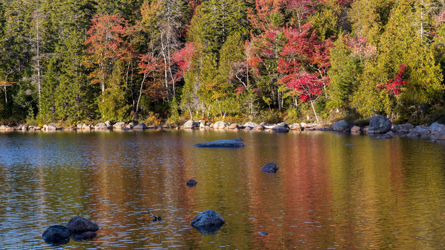
Jordan Pond color

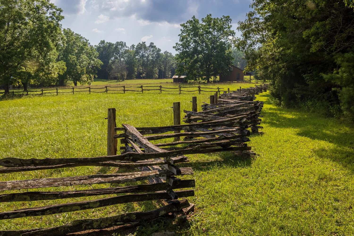
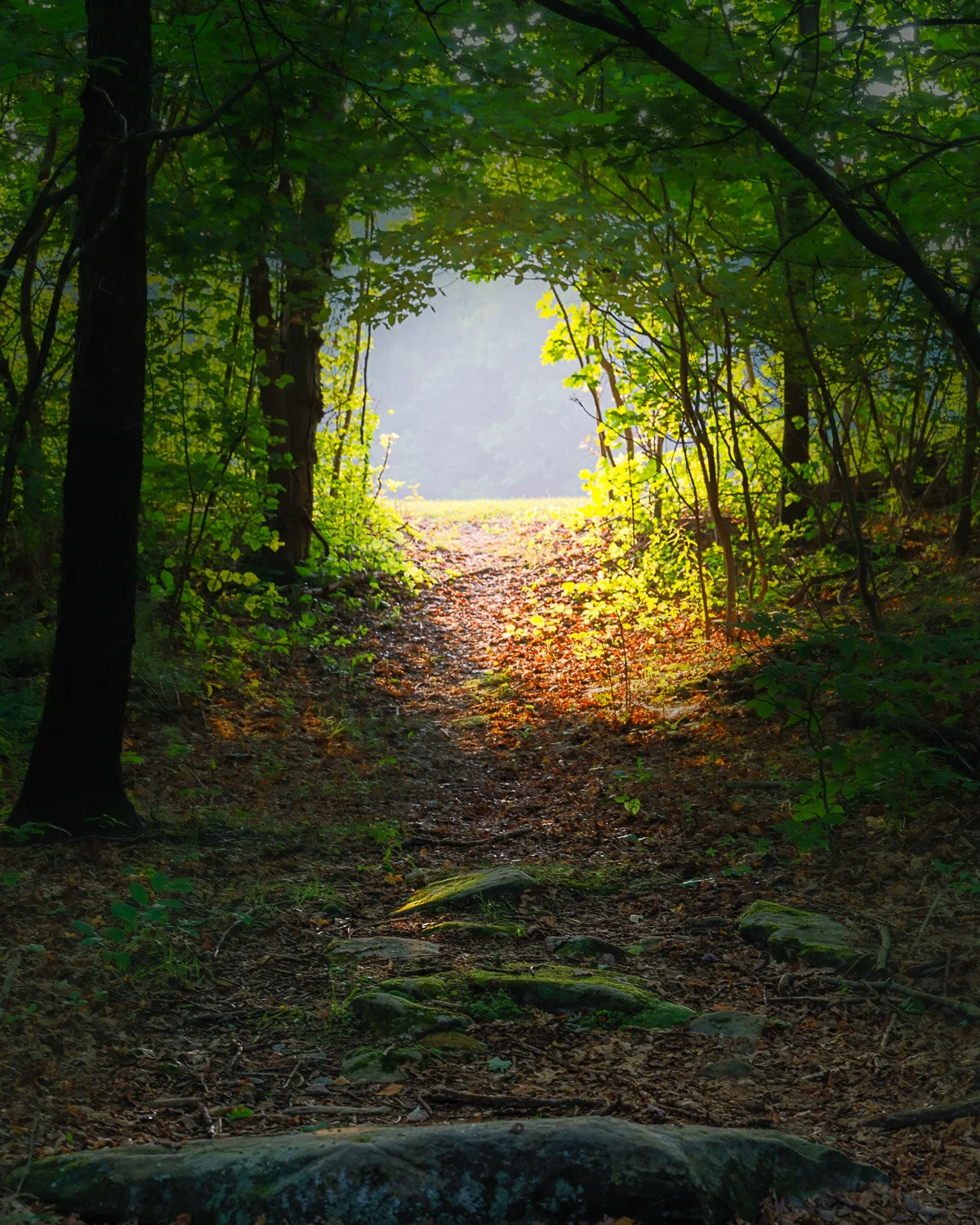
Go this way
The trail on the east side of the lake is an easy, level crushed rock path. Lots of streamways are built on the path to allow water to run off the mountain side into the lake, but it had been dry enough that none of those streams were flowing.

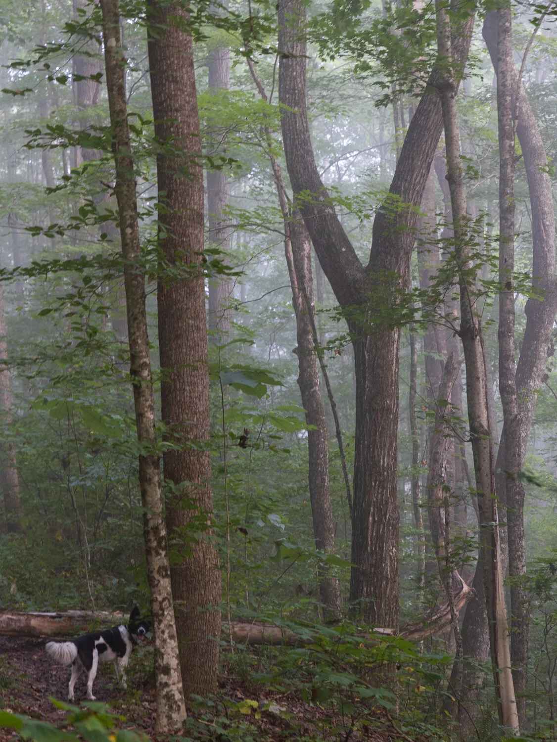
Jordan Pond trail
As you approach the north end of the lake, a few spur trails head up to the Bubbles, a couple mountains overlooking that end of the lake, but it would be dark soon so we continued on around the lake. A couple larger streams enter the lake after flowing down the Bubbles, and idyllic bridges cross them. Can you spot one?

Jordan reflections
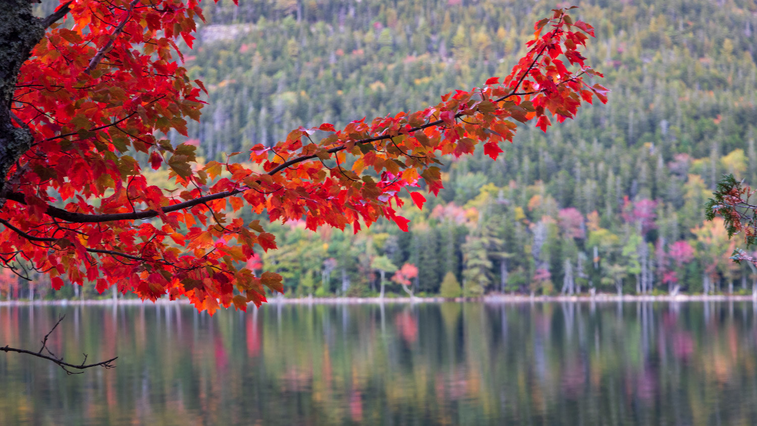
Here’s a closer view.

While a little early for peak autumn color, some intense patches made for beautiful views.
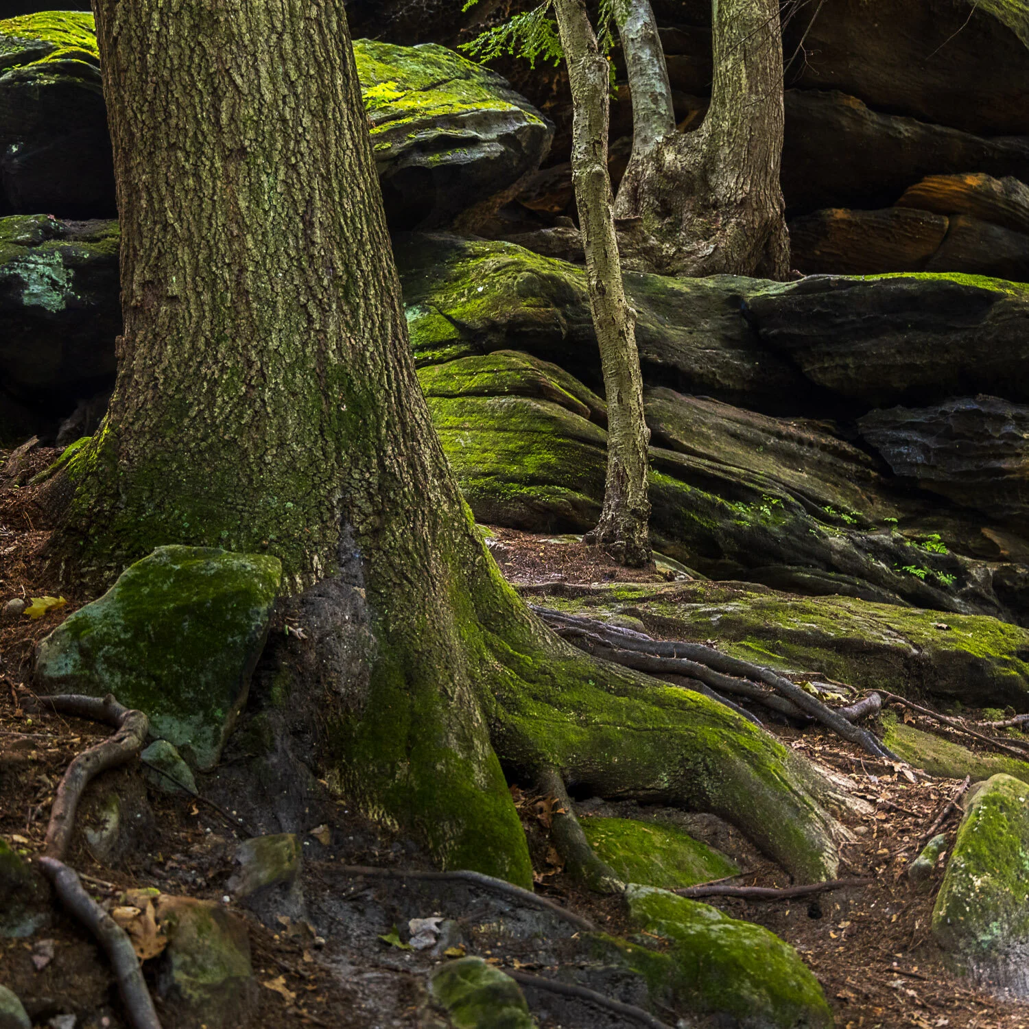
The return trail on the west side of the lake was quite different from the east side. First, you needed to scramble over some boulders.
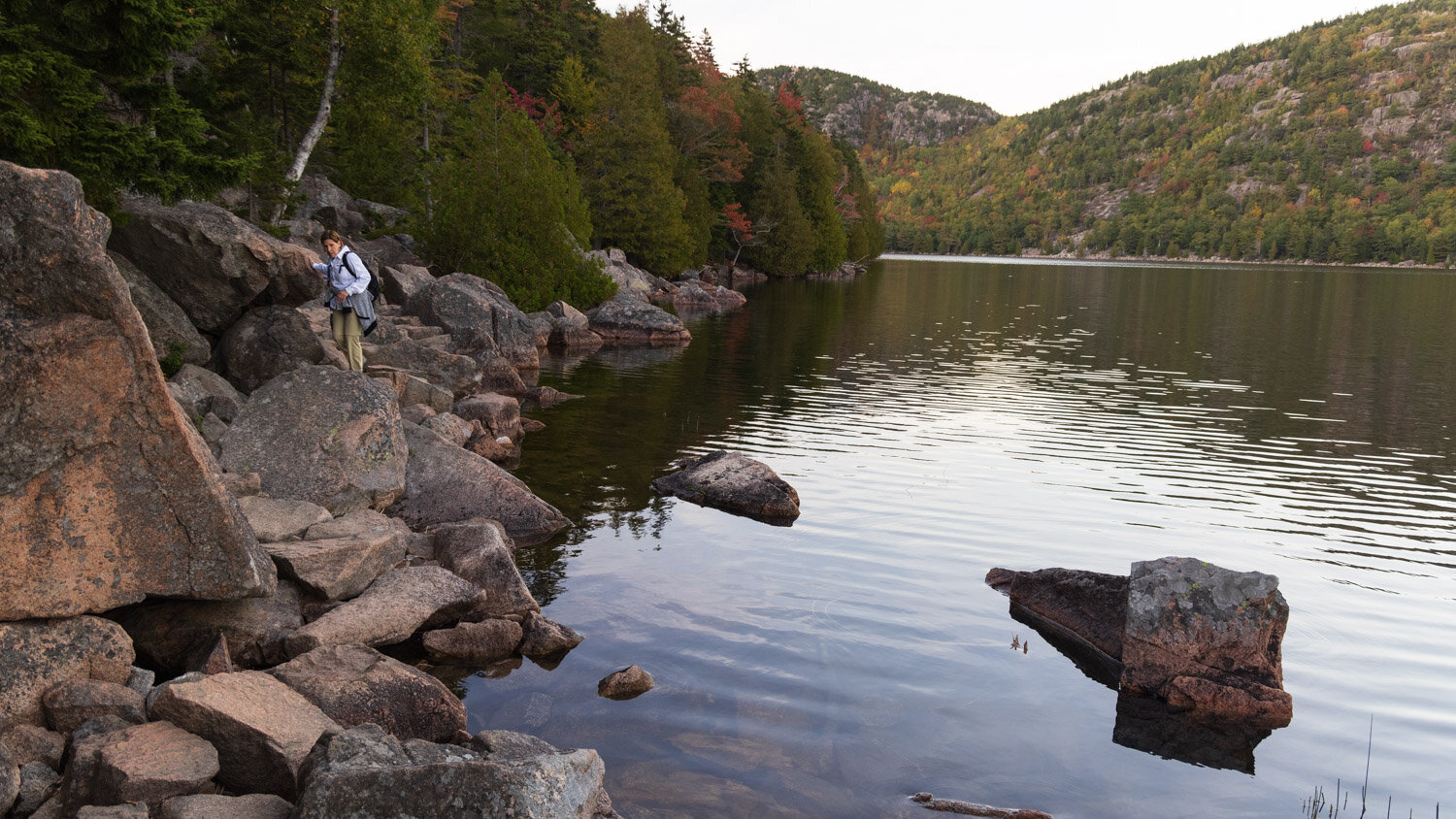
scrambling
Then a very long boardwalk kept you off the forest floor. We were fortunate that our sunset hike had very few other hikers since it would have been challenging to cross paths with people going the other way, especially with a dog on the leash. The Acadia experience was challenging with great crowds even mid-week with parking lots filling up quickly.
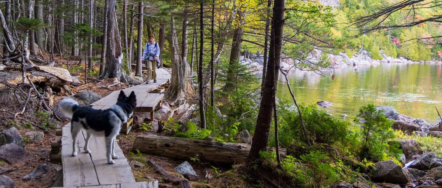
Jordan Pond boardwalk
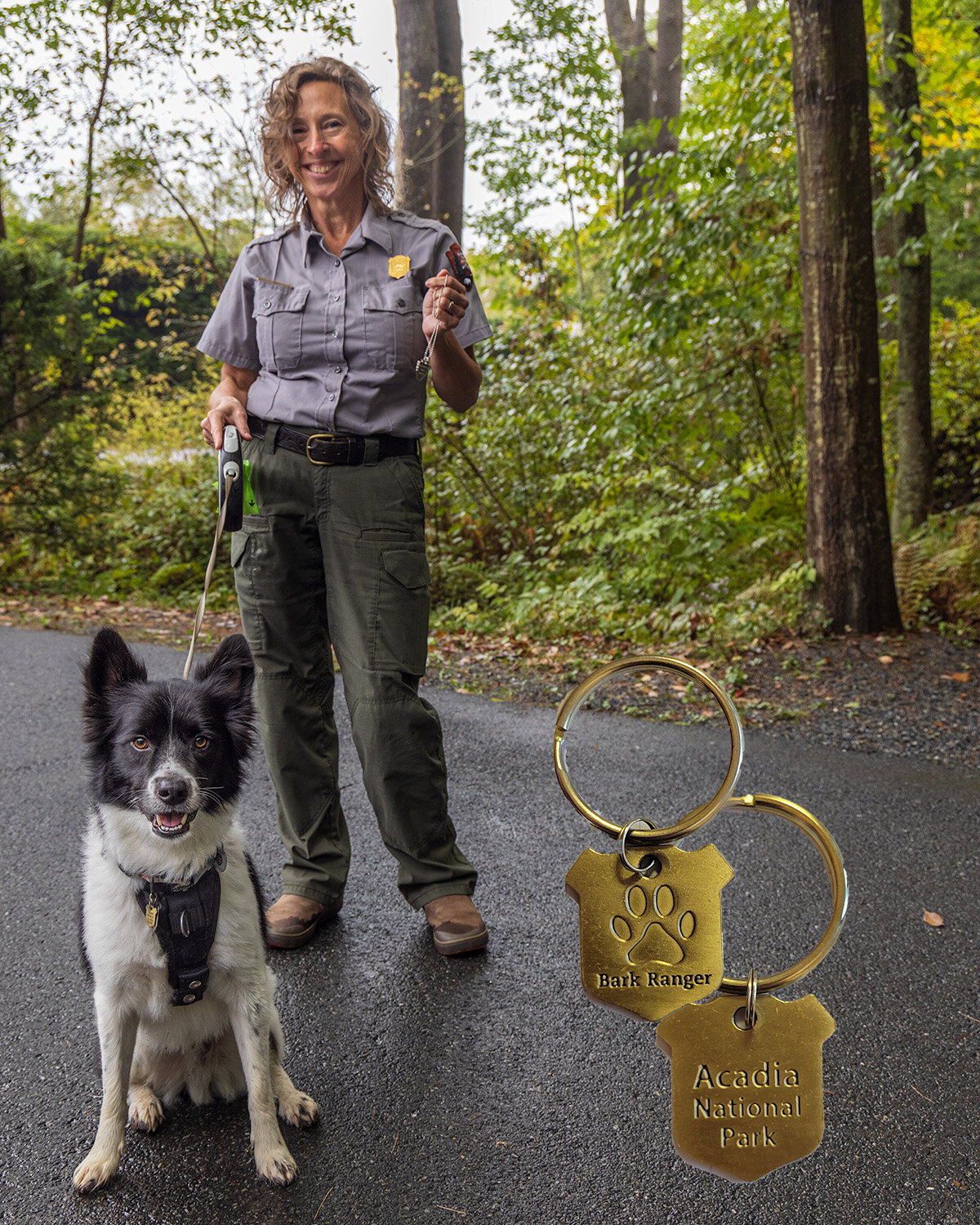
Acadia is a dog friendly park, and like a few other parks, offers a B.A.R.K. ranger program where your pet can earn a badge. The picture below is of the Acadia collar tag, and Chance getting a badge from a ranger at Saint Gaudens National Historic Site.
Many national park sites have understandable restrictions on dogs due to wildlife, safety or crowding, but many provide great opportunities. One of the best is nearby Indiana Dunes National Park that permits dogs on almost all trails, and has a B.A.R.K. ranger program. This weekend they are even offering a ranger led hike for dogs.
Rangers
As we approached the end of the hike, you could spot Jordan Pond House that overlooks the southern end of the lake. Lots of people were gathering near the shore to watch the sunset. We tried to go back to the House the next morning for their famous tea, but the parking lot was full well before the opening.

Jordan Pond House
We joined the folks lined up on the shore to view the fading dusk colors over the Bubbles rising above the north end of the Lake. A beautiful end to the hike.

Bubbles over Jordan Pond