A narrow venture with Leslie Marmon Silko

Two years ago this week, the rest of my family travelers ventured back home. I stayed on for a few more days in southeast Utah. One of my plans was to hike up the Narrows, which is the top of the main valley canyon in Zion National Park. The Virgin River cuts a narrow canyon through the sandstone until it opens up into the wider valley that is the main destination in this third most visited national park.

This is a very popular hike, with summertime photos showing scores of people walking through the cold water on desert hot days. But midweek on a January morning wrapped in waders and neoprene boots, I was alone in the canyon.

The year before I started law school, I worked as a messenger for a law firm and hiked the canyons in downtown Chicago every day. One of my frequent stops was the MacArthur Foundation which was just getting started after the death of John D. MacArthur a couple years before. One of the first recipients of a MacArthur Foundation Grant was Leslie Marmon Silko of the Laguna Pueblo people. From her poem, Where Mountain Lion Lay Down with Deer:

I climb the black rock mountain

stepping from day to day

silently.

. . . .

. . .

The old ones who remember me are gone

the old songs are all forgotten

and the story of my birth.

. . .

How I swam away

in freezing mountain water

narrow mossy canyon tumbling down

out of the mountain

out of deep canyon stone

down

the memory

spilling out

into the world.

From, Where Mountain Lion Lay Down with Deer, Leslie Marmon Silko

from Long Time Ago

. . . .

At first they all laughed

but this witch said

Okay

go ahead

laugh if you want to

but as I tell the story

it will begin to happen.

. . . .

Then they grow away from the earth

then they grow away from the sun

then they grow away from the plants and animals.

They see no life.

When they look they see only objects.

The world is a dead thing for them

the trees and rivers are not alive.

The deer and the bear are objects.

They see no life.

They fear

they fear the world.

They destroy what they fear.

They fear themselves.

. . . .

From, Long Time Ago, Leslie Marmon Silko

2021 -- For the Birds

I hope everyone reflecting on 2021 finds some jewels among the continuing challenges. Our lives continue to challenge our fellow creatures, in particular the birds. This refuge of Bosque del Apache does provide a wintering home for many birds beyond the cranes and snow geese who are the showstoppers. Here’s a few of the others spotted.

Gambel’s Quail

This was one fellow I definitely wanted to meet on my visit to Bosque. They did not disappoint in their charismatic scurrying along the ground. What did surprise me was their delightful noises of clucking, chuckling and calling out to each other. The strangest sound was like water drops falling through the desert brush they were in.

Brewer’s Sparrow

Another to add to my life list were these Brewer’s sparrows that buzzed and sang along many trails at the refuge.

Lesser Goldfinch

These little cousins to the American Goldfinch played around a feeder quite a bit, but this fellow found a nice branch to pose on while pausing between feedings.

Pyrrhuloxia

Along with the Gambel’s quail, this was the bird I was most hoping to see. The Pyrrhuloxia is the desert version of the Cardinal. Mostly in Mexico and south Texas, New Mexico is the northern area of their range, and I was lucky to spot a couple and this lady posed nicely on a cactus.

Blackbirds

The geese weren’t the only ones flying around in large flocks. Murmuration’s of blackbirds would swoop through the marshes and fields as well.

Northern Pintail

The lady in the background seemed a bit impressed as this male Northern Pintail showed off some of his elegant plumage.

Cooper’s Hawk

Plenty of birds of prey patrolled the skies. Northern Harriers teased me throughout my visit, seeming to choose to fly near me as I was driving, and then fly off as soon as I stopped my car, so I got a lot of images of harrier tail feathers. I really wanted to get a picture of a Golden Eagle. I finally saw one just a few feet away eating a deer. Unfortunately, the deer was roadkill and I was going about 75 mph. This Cooper’s hawk perched nearby with a nice view and I kept encouraging him to seek some prey so I could get some flight shots, but his patience in the tree outlasted mine on the ground.

Bald Eagles

Several bald eagles kept watch around Bosque. I don’t know if they were just easier to spot on these snags or they really preferred them, but there was nearly always at least one to found on these large dead trees in the middle of marshes.

Pelican, cranes and ducks

As I was ready to leave Bosque del Apache National Wildlife Refuge, I drove by this pond hoping to enjoy the last of the low morning light on some cranes or geese. I noticed this cluster of white birds on the north end of the pond. As I drove closer I was surprised they were not snow geese but a cluster of white pelicans. Growing up in Florida I’d watch white pelican fish forming a large circle in the water and then slowly contracting the circle and concentrating the fish. They’d fill their pouches with fish. I’m still surprised when I see pelicans with mountains in the background. This was a fitting scene to leave imprinted on my memory as I left Bosque. Hoping the new year brings you many scenes of peace and life, and may 2022 be a good year for the birds as well.

First Light in New Mexico

This is why I came back.

The blast off at Bosque del Apache National Wildlife Refuge.

To get there in the dark. As the sky lightens, to hear the geese talking joined by the calls of ducks and cranes. Suddenly, the geese talk gets very loud. Thousands of wings beat. The geese take off, and a thunder of wings and squawks go overhead.

But. What will the light be? Will the temperatures be in the single digits, freezing as you wait and wondering if your fingers will work to push buttons? And when the geese decide what they’ll do—a few minutes before sunrise, a few minutes after, will they blast off, or will they just stay put. Two mornings in New Mexico. What will it be?

Bosque del Apache dawn

December 1, 6:28 a.m., a half hour before sunrise a few hundred snow geese fly in to join others already in the water. The wildlife refuge staff flood certain areas where the geese and cranes will gather for the night. This long pond runs north and south, and photographers are lined up tripod leg to tripod leg looking east to the dawn sky. I’d gotten a tip that the birds were having a tendency to gather at the north end of the pond, so I set up there. This group flew in and things quieted down. Then eleven minutes later, the geese calls got very loud. Get ready!

Snow Geese blast off

6:39:36 the blast off begins, and you hope your camera settings and you are ready to capture the show.

6:39:43 all the geese have left the water. The sky thunders with wing beats and honks.

6:39:49 the snow geese have all taken off and are heading north out into the fields for the day. In about a half minute the pond has emptied of thousands of geese with only their reflections in the water and they’ve gone overhead with calls fading into the distance. Time to search out more opportunities as the sun gets ready to rise, so walk further south and spot some sandhill cranes in the water.

Sandhill Cranes in dawn light

The soft dawn light was pushed aside as the sun got over the San Pascual mountains, and a different kind of magic began. And look, a few snow geese were still around.

Snow geese trio

The Sandhill Cranes don’t blast off in the large groups like the geese, but often leave in small family groups of two to four birds. They’ll often tip off when they’re ready to leave by stretching out their necks and leaning in the wind.

The cranes ended the morning light show as they, too, took off to surrounding fields.

The morning sky was pretty clear with a few clouds near the eastern horizon to add some color. That evening the clouds moved in, and as last week’s post showed, the sky put on quite a show. What would the next morning bring? I got to the location a bit earlier with hopes of getting the crescent moon near the horizon. About an hour before sunrise, the sky began to light with nice color in clouds.

At 6:23, still 35 minutes before sunrise, the geese honking got loud, and here they came.

Is this the blast off already? The geese seem to circle around.

Instead of taking off and scattering through the surrounding area, the geese were gathering in the pond. Soon enough, the sky was emptied of birds and the pond was filled with geese.

Dawn over the San Pascual mountains

Unlike the day before, there would be no big blast off the geese. Large numbers of geese would start honking loudly, and a group of a few hundred geese would take off.

Seven minutes until sunrise

At 7 o’clock, the sun got over the distant mountains, and groups of geese continued to go. Two very different and exceptional mornings at Bosque del Apache.

Sunrise, Bosque del Apache National Wildlife Refuge, New Mexico

The Last Half Hour of Light in New Mexico

Bosque del Apache National Wildlife Refuge lies in the Rio Grande valley in west central New Mexico. For eons rain flowed down the mountains into the valley to the river. Monsoons would flood the river and new channels would form. The old river beds and wetlands supported wildlife and was a corridor for migrating birds. Some would spend the winter in the Bosque area.

Ten minutes to sunset:

Sandhill cranes over Chupadera Mountains

For thousands of years native tribes hunted, farmed, and lived in the valley and each year the birds returned. New settlers could not live with a river that flooded and changed its course. So the river was dammed, irrigation canals were dug, and the river was tamed. Wetlands disappeared, food for the birds was gone and the birds, too, began to disappear.

Sandhill crane and cottonwood

In the 1930s, giving jobs to young men who were devastated by the Depression, the Civilian Conservation Corps began restoring the floodplains in the Bosque del Apache. In 1939, President Roosevelt signed legislation protecting over 57,000 thousand acres and adding Bosque to the U.S. Fish and Wildlife Service’s National Wildlife Refuge system. Birds began to return.

Bosque del Apache is one of over 500 national wildlife refuges managed by the Department of Interior. Staff regulate gates and ditches to mimic the seasonal flooding of wetlands. Water moves through fields, marshes and ponds and back to the Rio Grande. Invasive plants are removed, and natural food sources such as millet and chufa are returned, and other grain crops are grown. The flooded areas are nighttime homes for thousands of sandhill cranes, snow and ross’s geese, in part to protect them from coyote and other predators.

Sunset:

Sandhills may be the oldest living birds with 2.5 million year old fossils nearly identical to the current species. While they eat mainly grains and vegetation, they are omnivores and will happily take on insects, amphibians or small mammals. A young bird near me once pulled a mole out of the ground and had quiet a struggle getting it down, but eventually was successful. Though some subspecies stay year round in Florida, Mississippi and Cuba, most migrate to and from the Arctic. Pictured here are those part of the western flyway. I live under the eastern flyway, and as I prepare these images I heard a couple groups heading south even this late in the year. Their ancient call is remarkable, and I can hear it inside the house, and go outside and see them hundreds of feet in the sky.

When the birds begin landing, they usually “balloon” or “parachute” in with feet down, toes spread and wings akimbo. It is as if the nearby petroglyphs have come to life and are falling from the sky.

Desert southwest sunsets and sunrises can be breathtaking, but you need clouds for the colors to explode. I kept checking forecasts for my two mornings and evenings at Bosque, but they kept saying clear skies with the possibility of clouds the second day. The second afternoon skies were clear, but the forecast was for clouds. And they came! Of course, the images so far are with long telephoto lenses. But after the sun set and the colors began to change, it was time to reach into the bag for a wider view.

It can be a bit of a frenzy photographing birds in flight, though sandhills are pretty predictable and relatively slow. A peaceful sunset can be just as frantic capturing the rapidly changing light, searching for compositions, changing perspectives, and getting different lenses. And trying to simply enjoy the majestic scene developing in front of you.

A tough tip to remember during spectacular sunrise and sunset shows is to look behind you. This one lit the sky in all directions. Here’s looking behind where I took the last image.

And back looking the other way again to the most intense colors of the evening.

As the light fades, the birds continue to come from the fields in the surrounding areas where they’ve spent the day. The places with water are rare. The intense drought has continued for a couple years. The staff at Bosque del Apache cannot flood as many fields this year. An interview with Debora Williams, the director of the NWR explains the efforts to maintain the refuge under the challenges of drought. The interview starts at 33 minutes in, but this link might take you directly to that part of the show. Will we confront climate change? Will we invest in infrastructure and jobs like the CCC in the 1930s to enhance lives and the environment?

As the light fades, sandhills continue to parachute in. Time to get the long lens out and concentrate the last of the light. The Friends of Bosque del Apache support the refuge, staff the visitor center and the adjacent desert arboretum from where I’ll share more images. If you’d like to support their efforts, you can donate or purchase raffle tickets for a sandhill crane quilt. The raffle ends today!

Though many birds stay or travel through the refuge year round, the thousands of geese and sandhill cranes (and many turkeys, white pelicans, blackbirds, etc.) concentrate in the refuge from mid-November through January. If you haven’t yet, I hope you have the chance to visit.

New Mexico mammals

Just returned from a trip to New Mexico highlighted by the birds at Bosque del Apache National Wildlife Refuge, but a few mammals showed themselves along the way—not counting the road kill and the Golden Eagle I passed by at 75 mph eating a carcass.

My first morning stop was Petroglyph National Monument in Albuquerque. The park spreads over several areas on the outskirts of the city along a volcanic rift where Ancestral Pueblo people made petroglyphs 400-700 years ago. Most of the units don’t open until 8 or 9 a.m., but Piedras Marcadas Canyon trail stays open. I made it for a great sunrise, and saw some iconic Albuquerque hot air balloons also enjoying the sunrise. This one later came down for a close view of the mesa ridge over the canyon.

The petroglyphs are incised into the lava blocks along the ridge. There are many human and geometric shapes and birds, and some desert animals as well. Some later crosses and cattle brands by Spanish colonists are also found in the rocks.

The petroglyphs are on boulders along the canyon walls. Running among the boulders were some dessert cottontails. They are prey for nearly every predator in the area—hawks, snakes, foxes, bobcats, and the fellow who’ll be in the next image. Hard to see on this image, but the front of this guy’s face showed he had a narrow escape not long before, so he’s showing his speed.

Dessert Cottontail — Petroglyphs National Monument

The mesa ridge overlooks the field of lava boulders. There wandering along the edge was one wily coyote searching for cottontails or similar fare. Unlike the wolf that likely came across the Bering Straight, coyote has ancient American origins. Likely the people who made these petroglyphs told stories of the trickster Coyote.

Near the visitor center at Bosque del Apache NWR are trails through a beautifully tended desert arboretum that has plenty of bird feeders and water sources. I added several birds to my life list in this little area, and was enjoying just sitting listening to the beautiful calls and watching the variety of birds around one feeder. Then this little fellow came up to feed and the birds didn’t seem to care it was sharing the food. This tiny fellow is mouse-sized but called a Hispid Cotton Rat.

Hispid Cotton Rat — Bosque del Apache NWR

Bosque del Apache NWR runs along the banks of the Rio Grande, and is the wintering home of tens of thousands of Sandhill Cranes, Snow Geese, Ross’ Geese, and other bird species. Even in times of severe draught as there is now, the fields and water levels are carefully maintained to provide optimum food sources for the birds. I suspect the mule deer enjoy this abundance, too.

Mule deer — Bosque del Apache NWR

Young buck

The Rio Grande has changed its course over the years. The Rio Viejo trail runs through an old channel of the river. The rich soil supports a large cottonwood forest that still held golden autumn leaves. I heard some rustling and spotted a javelina. They have poor eyesight, so I stopped and knelt down. Soon I noticed a dozen of them were eating their way through the woods. One of the boars crossed the trail near me and took a dump. Though he was about the size of my dog Chance, he impressively left behind several days’ worth of what I need to pick up from Chance. After watching and photographing for a while, I stood up. The startled band thundered away.

Javelina or collared peccary

Feeding Fall Birds

It’s been far too long since I’ve done a post on birds. However, I’ve got a trip planned to focus on some flying feathers. Before we get to that, I’ve been capturing some birds close to home with a new long lens I’m having some fun learning to use. Let’s start with a couple little ones from St. James Farm Forest Preserve in Winfield.

House Finch

This House Finch was singing away on top of the pine. Several Chickadees were flitting through the shrubs gathering seeds, and were a challenge to capture.

Black-capped Chickadee

I was in the back yard watching a Red-tailed Hawk flying overhead. Then it began pursuing a flock of pigeons, so I went in the house to grab my camera. The chase lasted a bit, but I couldn’t get any images. Then another hawk came, and the two tumbled about in the air.

Red-tailed Hawks

I had the urge to get some more bird images then, so it was time to drive to a nearby forest preserve to see what might be around. As it turned out, I got no images there. But with the long lens next to me, just a couple blocks from home a Red-tailed Hawk was sitting in a parkway having lunch. Could it have been the same hawk that was flying overhead just a little while ago?

Those who might be sensitive to a raptor enjoying its prey should scroll past the next two images of the possum and the hawk.

Red-tailed Hawk and possum

A couple weeks ago, I posted a story about a hike on the Paul Douglas trail at Indiana Dunes National Park. Just as with my first hike there last winter, the beginning of the trail is loaded with woodpeckers. I’ve never seen so many concentrated in one place, including several Red-headed Woodpeckers.

Red-Headed Woodpecker

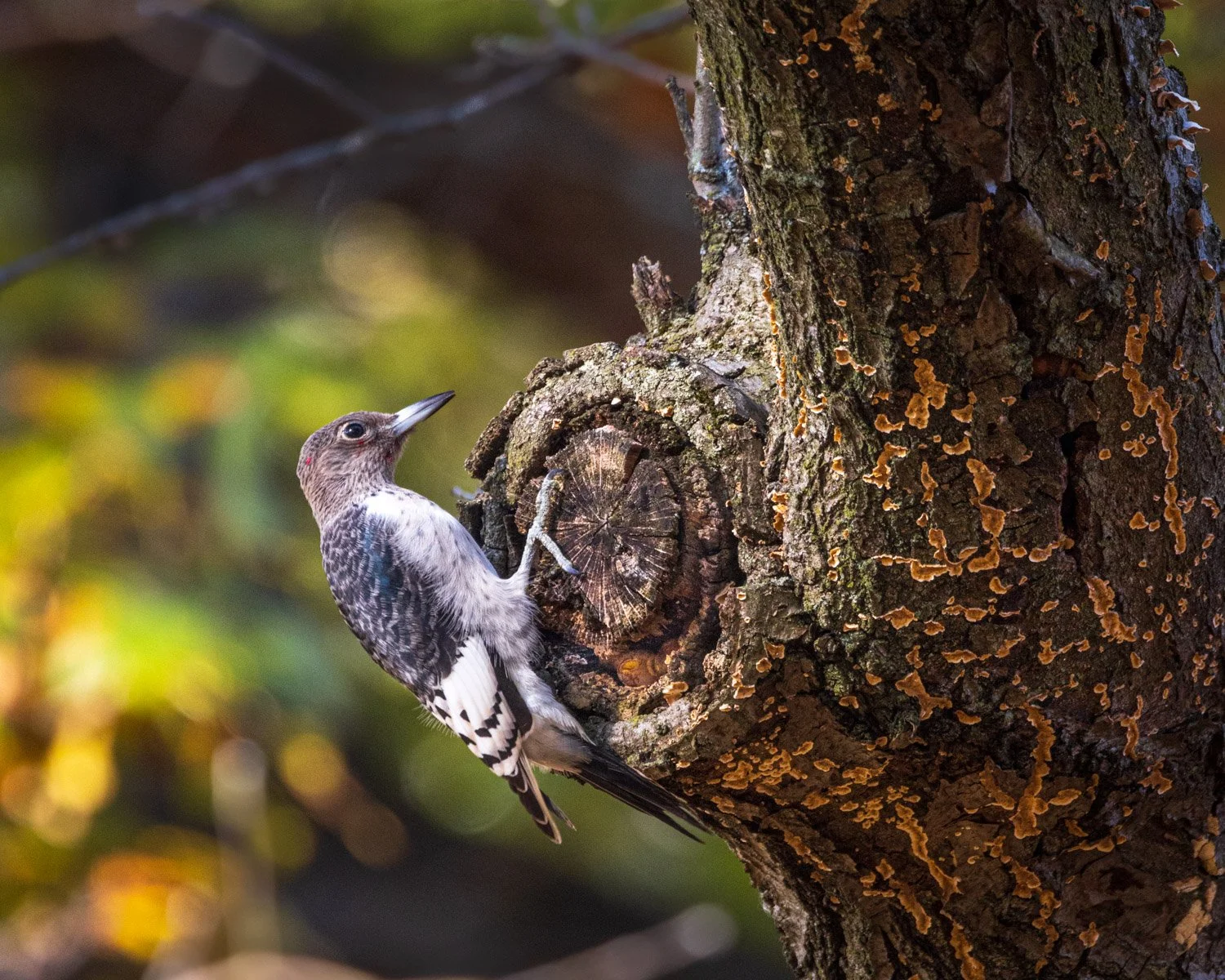
The birds were very busy packing nuts and seeds into crevasses in the trees to get ready for winter. I think the fellow in the next image is a juvenile. You can see one tiny blotch of red starting to feather out on his head. If you look carefully, you can see some of the nuts that he was very busy plugging into the tree.

Seed storing

As I was driving away from the Cowles Bog trail at the Dunes, a pair of Sandhill Cranes were feeding in the marsh. Usually by this time of year, I’ve heard the cranes flying south, but I haven’t heard any so far. However, in a couple weeks, I expect to see thousands of them. I’ll be heading to Bosque del Apache Wildlife Refuge in New Mexico, where I went once before in 2009. Tens of thousands of Cranes, Snow Geese and Ross’ Geese spend the winter there along the Rio Grande. One of the greatest wildlife scenes I’ve experienced is the “blast off” of the geese around sunrise. As the sky begins to light up, the cranes and geese begin to call and honk. Some mornings small groups will take off, but most days something triggers the whole flock to suddenly take flight off to the surrounding fields. The rush of wings swirling overhead is breathtaking.

Local Bosque del Apache groups run a Festival of Cranes the weekend before Thanksgiving, but as last year, it is a remote event. You can attend some of the classes Friday and Saturday if interested. Or you can peek into their live Facebook feed Saturday morning for the fly off—and hopefully blast off—or the sunset return when they fly back to the pond where they spend the night. The morning feed is from 6:45 to 8 a.m. CST. The birds don’t tell you ahead of time when they’ll take off, but usually it’s about 10 minutes before or after sunrise. The evening fly-in spreads out through the evening and the live Facebook feed will from 5:30 to 6:45 p.m. CST. The cranes seem to be calling the entire time. Can’t wait to get there in a couple weeks!

Indiana Dunes National Park, Sandhill Cranes

Back to the Dunes

When we hiked Miller Woods last week, a ranger suggested trying the Cowles Bog trail a bit further east for more fall color. So we returned this week for a hike there before the colors were all on the ground. The nearly five mile trail is a lolly-pop—you hike in on a straight line and then get to a big loop. The trail starts in the oak savannah.

The loop trail goes around the actual fen, and then gets to the final dunes and to Lake Michigan. The incredible diversity of this location, and the early conservation efforts of a few people are why there is a national park here today. Henry Cowles wrote his dissertation about the plant succession in the dunes in 1898 while getting his Ph.D. at the University of Chicago where he would stay as a professor. He became a founder of the ecological studies movement while confirming the ecological importance of the area, leading to preservation of some areas as massive steel mills were being built on the shores of Lake Michigan in Indiana and Chicago.

In 1916, Cowles invited Stephen Mather, the first director of the newly formed National Park Service to Chicago and on a tour of the dunes. Hearings were held in Chicago to establish Sand Dunes National Park, but those efforts were derailed by WWI. Soon, the tallest of the dunes was destroyed to make a port and mill, and much of the sand was shipped to Muncie, Indiana to the Ball Glass plant. A local English teacher, Dorothy Buell began leading efforts to preserve the local ecology.

Today, the massive steel mill adjacent to the protected area is constantly present through the roar of the mill and the sounds of train and truck traffic. The Cowles bog area was one of the first to be preserved by being purchased by the Save the Dunes Council in 1953 formed by Buell. In 1965, the National Park Service declared Cowles Bog to be a National Natural Landmark. Meanwhile, Illinois Senator Paul Douglas helped broker a compromise that federal support for the new Port of Indiana would only occur with the creation of Indiana Dunes National Lakeshore.

The National Lakeshore protected about 8,300 acres when it was established in 1966. Subsequent bills expanded the park to over 17,000 acres. In 2019, a century after Stephen Mather’s visit to the Dunes, the area was designated at the 61st national park. It is one of the most ecologically diverse parks in the system with eastern forest, prairie, lakeshore, fens, bogs, and fresh water streams.

The end of the trail climbs over the last of the dunes and spills into a field of marram grass holding on to the sand before getting to the lake.

And behind the final line of grasses peaks Lake Michigan.

A WonderFall Surprise

The autumn colors have a been slow in coming here, and not very dramatic this year. I took a chance (well, I took Chance, and I took an opportunity) to head to Indiana Dunes National Park to see if any colors could be found there. The Paul Douglas trail is in the westernmost part of the park, and starts just a couple hundred yards past a tattoo shop and vacant stores in Gary. However, you’re quickly in oak savannas, beaver lodges, sand dunes, swells, ponds, and eventually the trail opens up on Lake Michigan. I shared a hike there last December on a snowy morning. As the sun rose Thursday, magical autumn foliage spread over the forest floor.

Soon enough the sun was getting up over the ancient dunes and providing warm light across the forest.

The sun lit up a beaver lodge in a pond in an interdune swale. One of the first white settlers in the area built a trading post for products such as beaver pelts. The animals were eliminated soon enough, but beaver have returned, and one swam across the pond as we watched.

Across the pond an oak glowed in the new day’s light.

The trail then comes up to the Grand Calumet River.

When we crossed the small bridge over the river, a flock of ducks took off, but three large birds remained. The family of Mute Swans—two adults and a juvenile—kept their distance as we walked along river’s edge.

Finally, a large marsh and grassland are between the two final dunes before you get to the lake.

Chance was happy to rest on the beach before heading back.

On the two mile return, we enjoyed the plants still glowing in the low autumn sun.

Back at the Paul Douglas Learning Center, Chance got a treat from a ranger, who recommended a couple more trails with good fall color. If you’re in the area and up for a trip there this weekend, you might try Dunes Ridge Trail or Cowles Bog. Also, on Sunday at noon, there will be a ranger presentation and hike about Native American settlements in the area. Or enjoy a scene like this on the Paul Douglas Trail.

Illinois Meditations

On a sunny autumn morning, Chance and I hiked up Illinois Canyon at Starved Rock State Park to the tiny waterfall and large pool at the head of the canyon. We were alone, and I got lost photographing the colors and forms in the water as the fall leaves floated slowly toward the stream that emptied the pool.

I hope you can enjoy the stillness and beauty of this morning and imagine what you want in these images. I will also share some parts of three poems from Roberta Hill Whiteman. She was a professor of English and American Indian Studies at University of Wisconsin-Madison until she retired last year, and is an enrolled member of the Oneida.

. . . Through their songs,

the wind held on to visions.

We still help earth walk

her spiral way, feeling

the flow of rivers

and their memories of turning

and change.

From These Rivers Remember, Roberta Hill

. . .

In their songs, the wind held

on to visions. Let’s drop our burdens

and rest. Let’s recognize our need

for awe. . . .

From These Rivers Remember, Roberta Hill

. . .

Sit where there’s a center

and a drum, feel the confluence

of energies enter our hearts

so their burning begins to matter.

. . .

From These Rivers Remember, Roberta Hill

. . .

This is Maka co-ka-ya kin,

The Center of the Earth.

From These Rivers Remember, Roberta Hill

I hope you can take a few minutes and let her read the entire poem to you. The full text of the poem is also found on this Library of Congress link. She then goes on to offer some of her background and of this poem. She mentions that she lived on Roberts Street in St. Paul in the 80s and 90s, and that was the address of the NTEU local I would work at often in Minnesota during that time.

. . .

Yet within this interior, a spirit kindles

moonlight glittering deep into the sea.

These seeds take root in the hush

of dusk. Songs, a thin echo, heal the salted marsh,

and yield visions untrembling in our grip.

. . .

From Dream of Rebirth, Roberta Hill

. . .

I dreamed an absolute silence birds had fled.

The sun, a meager hope, again was sacred.

We need to be purified by fury.

. . .

From Dream of Rebirth, Roberta Hill

The National Park Service announced this week that it is partnering with the American Indian Alaska Native Tourism Association

to help facilitate regular, robust and meaningful dialogue between Tribes and the NPS. Strengthening relationships with Tribal governments is a cornerstone of the Biden-Harris Administration and this partnership will ensure that the perspectives, voices and traditions of indigenous communities are incorporated into exhibits, outreach and cultural tourism programs in national parks.

. . .

as if without a history, I should always walk

the cluttered streets of this hapless continent.

Thinking it best I be wanderer,

. . .

From In the Longhouse, Oneida Museum, Roberta Hill

. . .

I rode whatever river, ignoring every zigzag,

every spin. I’ve been a fragment, less than my name,

shaking in a solitary landscape,

like the last burnt leaf on an oak.

. . .

From In the Longhouse, Oneida Museum, Roberta Hill

You can read the full text of In the Longhouse, Oneida Museum at the Poetry Foundation website. Each of these poems are also in the anthology When the Light of the World was Subdued, Our Songs Came Through compiled by U.S. poet laureate Joy Harjo which you can get for Native American month in November.

I hope you enjoyed the visit to the pool by Illinois Canyon.

Around Jordan Pond

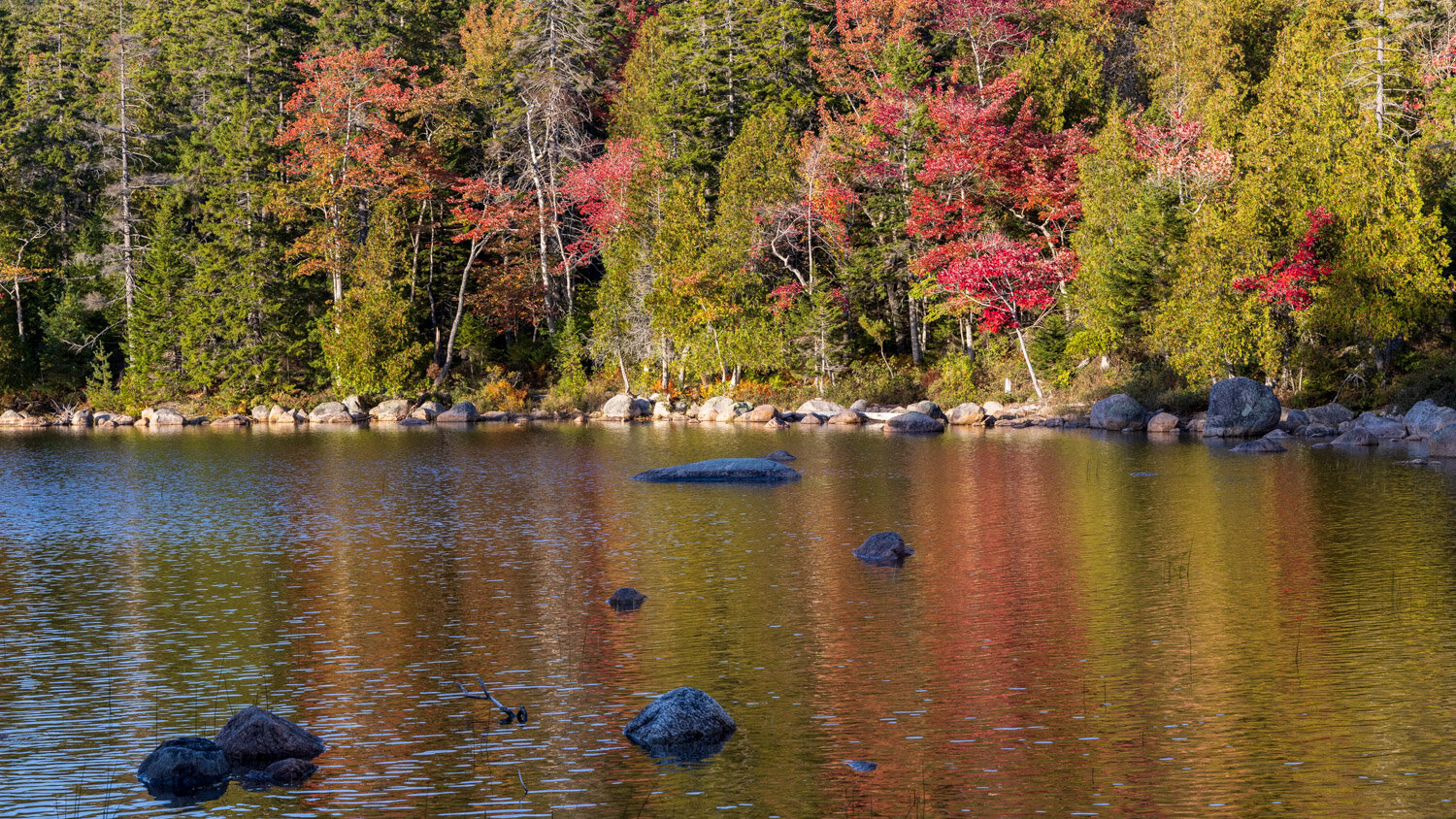
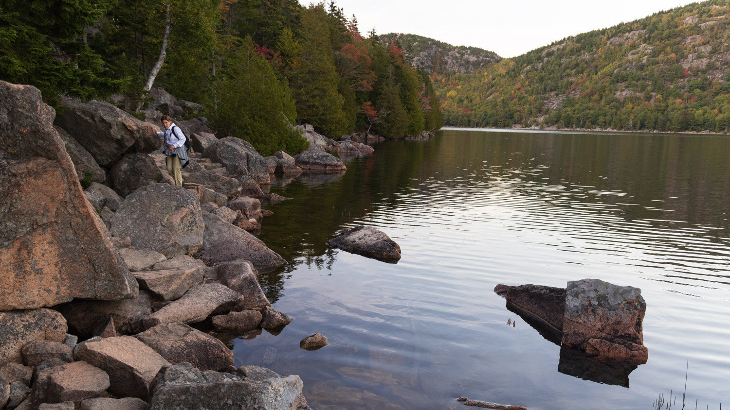
Sorry for missing a couple weeks of posting while traveling, but here’s some images from one of the hikes at Acadia National Park in Maine. Jordan Pond is a glacially carved lake with a 3.5 mile loop trail around the shore. The trail starts at the south end, and we headed counter-clockwise as the sun was nearing the ridgeline on the west and spotlighting the changing colors on the eastern shore.

Jordan Pond color

Jordan Pond color

Go this way

Go this way

The trail on the east side of the lake is an easy, level crushed rock path. Lots of streamways are built on the path to allow water to run off the mountain side into the lake, but it had been dry enough that none of those streams were flowing.

Jordan Pond trail

Jordan Pond trail

As you approach the north end of the lake, a few spur trails head up to the Bubbles, a couple mountains overlooking that end of the lake, but it would be dark soon so we continued on around the lake. A couple larger streams enter the lake after flowing down the Bubbles, and idyllic bridges cross them. Can you spot one?

Jordan reflections

Jordan reflections

Here’s a closer view.

Jordan Pond trail-bridge autumn leaves 6922.jpg

While a little early for peak autumn color, some intense patches made for beautiful views.

Jordan Pond acadia national park fall color-6976.jpg

The return trail on the west side of the lake was quite different from the east side. First, you needed to scramble over some boulders.

scrambling

scrambling

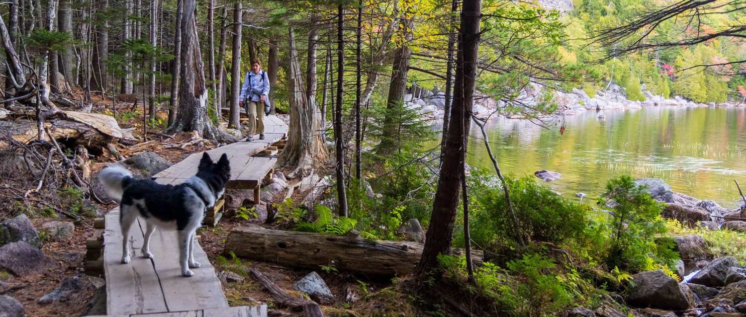
Then a very long boardwalk kept you off the forest floor. We were fortunate that our sunset hike had very few other hikers since it would have been challenging to cross paths with people going the other way, especially with a dog on the leash. The Acadia experience was challenging with great crowds even mid-week with parking lots filling up quickly.

Jordan Pond boardwalk

Jordan Pond boardwalk

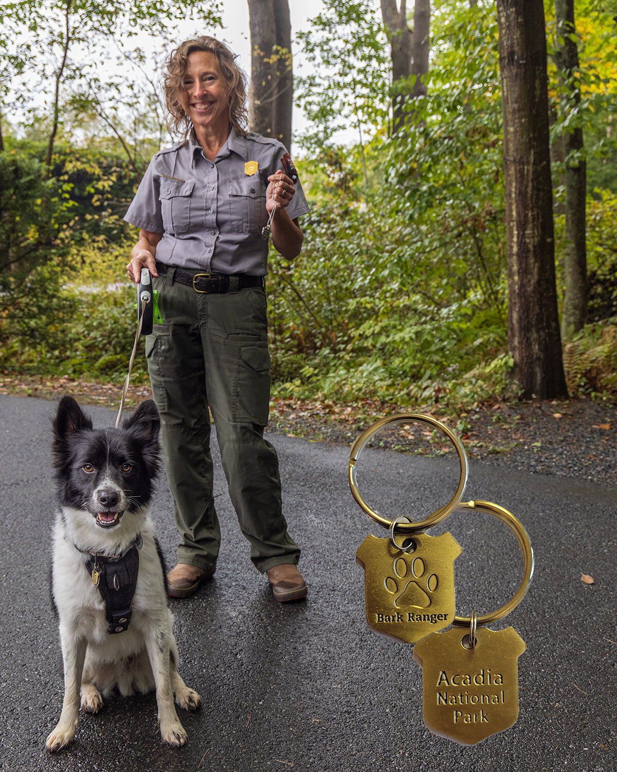
Acadia is a dog friendly park, and like a few other parks, offers a B.A.R.K. ranger program where your pet can earn a badge. The picture below is of the Acadia collar tag, and Chance getting a badge from a ranger at Saint Gaudens National Historic Site.

Many national park sites have understandable restrictions on dogs due to wildlife, safety or crowding, but many provide great opportunities. One of the best is nearby Indiana Dunes National Park that permits dogs on almost all trails, and has a B.A.R.K. ranger program. This weekend they are even offering a ranger led hike for dogs.

Rangers

Rangers

As we approached the end of the hike, you could spot Jordan Pond House that overlooks the southern end of the lake. Lots of people were gathering near the shore to watch the sunset. We tried to go back to the House the next morning for their famous tea, but the parking lot was full well before the opening.

Jordan Pond House

Jordan Pond House

We joined the folks lined up on the shore to view the fading dusk colors over the Bubbles rising above the north end of the Lake. A beautiful end to the hike.

Bubbles over Jordan Pond

Bubbles over Jordan Pond

The Waterfall -- Mary Oliver

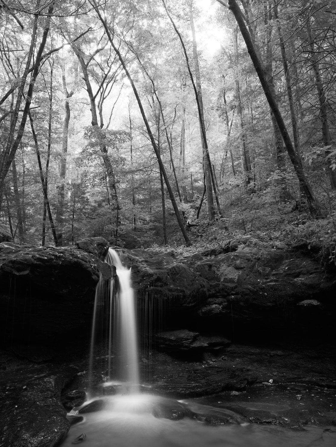
I’ve shared some images from Obed Wild and Scenic River, a national park area in the Cumberland Plateau in Eastern Tennessee. With lots of opportunities for whitewater sports and rock climbing, the hiking trails are limited. A ranger suggested nearby Frozen Head State Park for hiking. We were off to find some waterfalls.

It was a warm, humid, sunny afternoon, and contrasty light is not favorable for photographing waterfalls. However, the forecast called for some storms and rain, so we headed out hopeful that conditions would change. We past a couple small falls on the way, but the light was too bright, so perhaps a visit on the way back.

We got to a nice twin fall with a big pool as clouds were moving in. About ten young kids were playing around the fall as parents watched nearby. Chance and I took a seat to watch when thunder echoed between the mountains. And — no kids and nice light.

Debord Falls

Debord Falls

Few poets can imbue a poem with nature imagery as Mary Oliver. In 1991, Poetry published Oliver’s The Waterfall — For May Swenson. When Poetry received a massive endowment many years ago, all it’s prior publications went online so we can mine this treasure.

For all they said

I could not see the waterfall

until I came and saw the water falling,

its lace legs and its womanly arms sheeting down,

Frozen Head State Park Mary Oliver Waterfall-4763.jpg

while something howled like thunder,

over the rocks,

all day and night—

unspooling

like ribbons made of snow,

or god’s white hair.

At any distance

it fell without a break or seam, and slowly, a simple

Frozen Head State Park Mary Oliver Waterfall-4775.jpg

preponderance—

a fall of flowers—and truly it seemed

surprised by the unexpected kindness of the air and

light-hearted to be

flying at last.

Gravity is a fact everybody

knows about.

It is always underfoot,

like a summons,

gravel-backed and mossy,

in every beetled basin—

and imagination—

Frozen Head State Park Mary Oliver Waterfall-4789.jpg

that striver,

that third eye—

can do a lot but

hardly everything. The white, scrolled

wings of the tumbling water

I never could have

imagined. And maybe there will be,

after all,

North Prong Flat fork -4784.jpg

some slack and perfectly balanced

blind and rough peace, finally,

in the deep and green and utterly motionless pools after all that

falling?

Mary Oliver, The Waterfall, Poetry, January 1991

Across the Beatles Universe

Several weeks ago I posted some images from the Southwest together with lyrics from Joni Mitchell. I just rewatched Julie Taymor’s Across the Universe and so some Beatles lyrics have inspired me, and I’ve got images from a hike on the Devil’s Hall trail in Guadalupe Mountains National Park in west Texas to accompany them.

Devils Hall trail across the universe 9451.jpg

John Lennon said the opening lines to the song came to him after an argument with his first wife Cynthia and her words flowing over him, and he went downstairs to write:

Words are flowing out like endless rain into a paper cup
They slither wildly as they slip away across the universe
Pools of sorrow, waves of joy are drifting through my opened mind
Possessing and caressing me

He said in an interview:

"It's one of the best lyrics I've written. In fact, it could be the best. It's good poetry, or whatever you call it, without chewin' it. See, the ones I like are the ones that stand as words, without melody. They don't have to have any melody, like a poem, you can read them."

Devils Hall trail a day in the life 9310.jpg

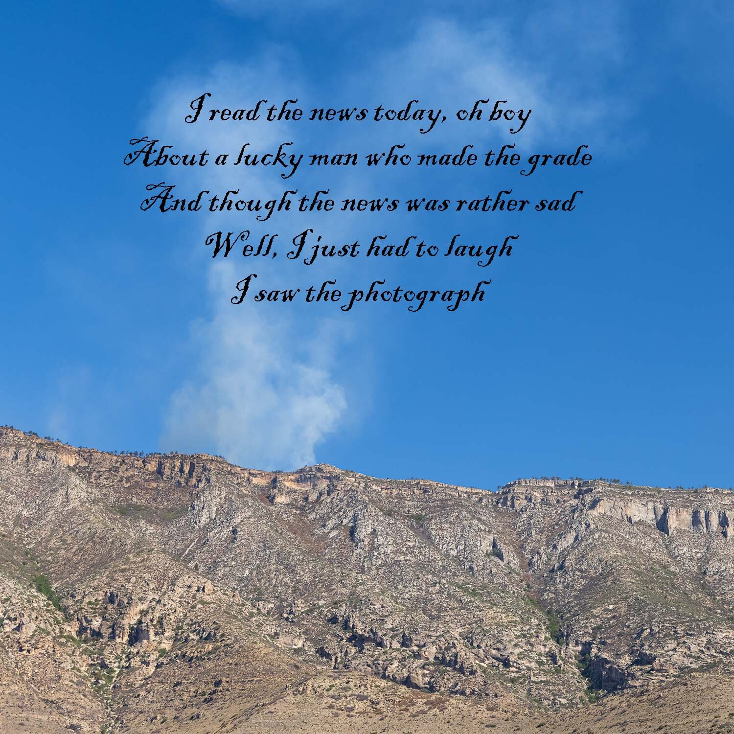
I remember being surprised in coming across the Lennon-McCartney lyrics for A Day in the Life in an anthology in a college poetry class. Lennon said the line above was inspired by a photograph he saw in a London paper about a Guinness heiress who killed herself in a car crash, and the mundane nature of covering such a story. In only a few years images of him killed outside his New York home would echo back to these lyrics.

The image is of smoke from a fire that closed most of the trails in the park. In many ways the images of fires, floods, draught and destruction sometimes become just another mundane news story.

Devils Hall trail centipede 9346.jpg

Well, it’s not a beetle, but coming across this centipede on the trail was a surprise. Paul McCartney’s lyrics he’d started for a different song were plugged into the middle of Lennon’s in A Day in the Life. If you have a Hulu subscription, you must see McCartney 3, 2, 1. You’ll need to wait until the very last episode, but McCartney’s recall of the creation of this song and inspiring orchestration is mesmerizing.

Devils Hall trail Ringo photograph-9385.jpg

Ringo Starr might not be the lyrical genius of Lennon or McCartney, but he wrote a few treasures himself. This image is near the end of the Devil’s Hall trail and the entrance into the Hall by some natural stairs.

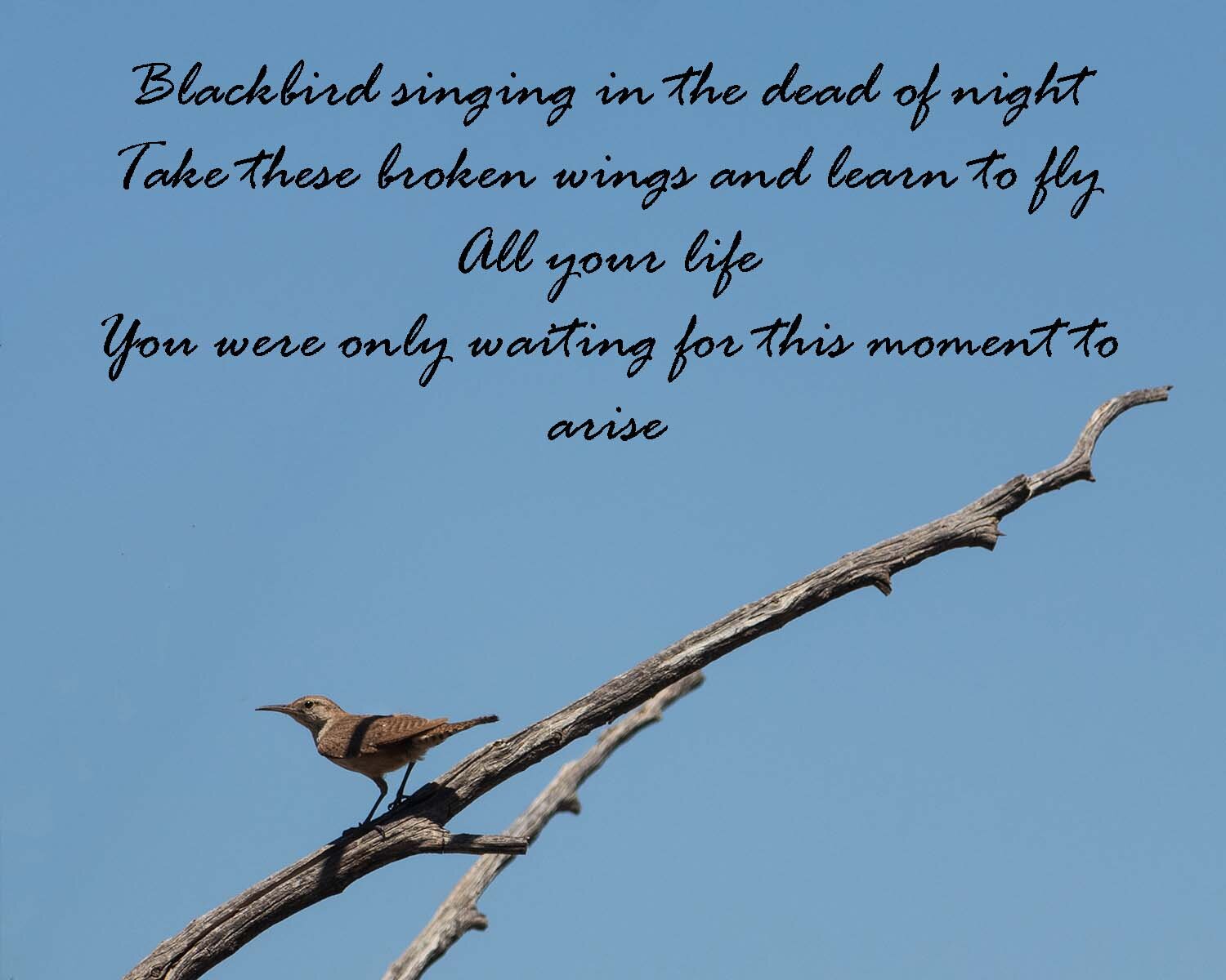
I’ll end this post with a photo from the end of the hike when we were greeted by a Canyon Wren, and a verse from one of Lennon and McCartney’s greatest.

Devils Hall trail Canyon Wren-7965-.jpg

Cultural Landscape - Blevins Farmstead

In May, I posted some images from the Big South Fork National River and Recreation Area which sits in the Cumberland Plateau in Eastern Tennessee and Kentucky. When visiting the area again last month, I stopped at the Bandy Creek Ranger Station for some ideas on where to visit. I asked about the Oscar Blevins Historic Farmstead that I saw on the map. The ranger told me about it and gave driving directions, but then added there was a loop trail from the other side of the ranger station parking lot that went through the woods to the farmstead. He gave me a brochure about the route, and off we went.

“And dark, dim in the blue haze”

“And dark, dim in the blue haze”

The trail starts along Bandy Creek. The trail brochure speculated as the origin on the name. Apparently, an early 18th century family started a farm nearby, but soon abandoned it—or in the local dialect — “bandoned” it. The bandoned area eventually was called Bandy.

“There, in blotched and cobwebbed light”

“There, in blotched and cobwebbed light”

Some sandstone cliffs rise a bit above the creek. Archeologists determined that over many centuries natives took temporary shelter under some of the overhangs, but no tribes ever established long-term residence in the area. The land was not too fertile or hospitable for permanent settlement.

“where the Indian village was once”

“where the Indian village was once”

After winding through the woods for a couple miles, the trail comes to a “bandoned” road where if you search carefully there is evidence of a family cemetery and later Blevins farmhouses, but eventually, the woods give way to the 24 acre main Blevins farmstead.

“The meadow is bright as snow”

“The meadow is bright as snow”

Perhaps you’ve noticed the titles to the images. They come from some lines of The Signature of All Things, a 1949 poem by Kenneth Rexroth. He was a conscientious objector during WWII, and was called “the Daddy of the Beat Generation.” He was charged by an academic critic as belonging to the “bear-shit-on-the-trail school of poetry,” which Rexroth took as a compliment. So, a bit from the poem:

. . . .

The meadow is bright as snow.

My dog prowls the grass, a dark

Blur in the blur of brightness.

I walk to the oak grove where

The Indian village was once.

There, in blotched and cobwebbed light

And dark, dim in the blue haze,

Are twenty Holstein heifers,

Black and white, all lying down,

Quietly together, under

The huge tree rooted in the graves.

. . . .

Kenneth Rexroth, from The Signature of All Things, 1949

“I walk to the oak grove”

“I walk to the oak grove”

The image above is from where the trail first opens to the farmstead. The old fence line leads to the “new” farmhouse that was built in the 1950s. The Big South Fork NRRA was authorized in 1974, and began acquiring some of the land in the area. The Blevins began this subsistence farm in the 1870s. As with most of the farms in the rugged Upper Cumberland, farming was never much more than subsistence. The family sold the farm to the government in 1980, and the century’s worth of structures built on the land now tell some of the story of this cultural landscape. The National Park Service has an informative summary of the history of the farm and a long, detailed Cultural Landscapes Inventory it created of this farmstead in 1998. The NPS has many missions to preserve and protect wild lands for public enjoyment, but also is a repository for our national memory and heritage, and the cultural landscape heritage is a part of that mission.

“a dark blur in the blur of brightness”

“a dark blur in the blur of brightness”

The image above is of the 1879 farmhouse, which in many ways is in better shape than the 1950s home. Those aren’t dust spots on the picture, but some of the insects buzzing about. It was time to head back on the trail through the woods. Though it may have been more convenient to drive up to the farmstead, the walk through the woods provided a better context for the isolated, challenging life the farmers had in the rugged landscape.

“quietly together, under the huge trees rooted in the graves”

“quietly together, under the huge trees rooted in the graves”

National Rivers and Trails -- Cumberland & Obed

A few weeks ago, I wrote about the fire on the Cuyahoga River in 1969 leading soon thereafter to the creation of the EPA and the Clean Water Act. A year earlier, Congress had passed the National Trails Act, and established two national trails—the nearly 2,200 mile Appalachian Trail and the over 2,600 mile Pacific Crest Trail. There are now eleven national scenic trails and nineteen national historic trails such as the Oregon Trail, Trail of Tears, and Selma to Montgomery Trail commemorating important events in the nation’s history. The National Park Service oversees these 30 trails, and you can look at them at this map.

Sunrise on the Cumberland Trail

Sunrise on the Cumberland Trail

The NPS also recognizes over 1,300 national recreational trails. While currently only two-thirds completed, the Cumberland Trail will extend 330 miles from the Cumberland Gap where Kentucky, Virginia and Tennessee come together and will end at Chickamauga National Battlefield near Chattanooga. A stretch runs though the Obed Wild and Scenic River Park in Tennessee, and I got a campsite right next to the trail. You can see the trail blaze on the spur trail next to my car, so we could get an easy start hiking in the morning.

Rock Creek campground, Obed National Wild and Scenic River

Rock Creek campground, Obed National Wild and Scenic River

Also in 1968, the National Wild and Scenic River Act was passed to designate and protect free-flowing (non-dammed) rivers of natural, historic or cultural importance. Eight years later, Congress established the Obed Wild and Scenic River in eastern Tennessee as an NPS site. In addition to the trails, the park attracts white water running as well as rock-climbing in the 500 foot gorge walls. This campsite is on the Emory River, and the picture below is taken on the other side of the Emory and looking downstream to where the Obed River joins it and then continues running off to the right.

Confluence of the Emory and Obed Rivers

Confluence of the Emory and Obed Rivers

A bonus of camping next to a river is falling asleep to the sound of the whitewater. However, when waking near midnight, it took effort to hear the sounds of the river over the loud chorus of frogs and insects. I didn’t want to go back to sleep, but instead just listen to the amazing music. When dawn did arrive, the valley was filled with mist.

Emory River misty sunrise

Emory River misty sunrise

Emory River morning

Emory River morning

The campsite is near a place called Nemo’s landing and one of the few places you can get next to the river if you’re not paddling through it. After dipping to the river at Nemo, the Cumberland trail climbs back up the gorge wall, but you can hear the sound of the river below even as you climb higher on the gorge. When you get to some sandstone cliffs, and the whitewater is crashing over rock below, you hear the sound of the river echoing off the walls above as well as from the river below.

Nemo Cumberland Trail sandstone cliff black and white4532.jpg

By daylight, the frog chorus has been replaced by bird song and different insects continued to play their tunes. And though it’s hundreds of yards away and on the other side of the gorge, when a train roars by, it actually hurts your ears that have become accustom to the quiet of the woods.

Old hornet nests

Old hornet nests

Some of the mist and fog collects on the leaves and drops in loud splashes. Although larger, more popular National Park sites are experiencing record crowds hiking here was a solitary experience. Lat week in hiking nearly 25 miles on five different trails here and at neighboring Big South Fork National River and Recreation Area, we didn’t meet a single other hiker.

Misty woods

Misty woods

colorful floor

colorful floor

The trail followed the ridgeline along the Emory River and then turned to follow the Obed valley. While the Cumberland trail continued on its route north to Virginia, a spur trail led down to Alley Ford. This spur is wide and rocky and is the old wagon road bed leading up from the ford where the river could be crossed and a small community once lived. Periodic floods wiped out the tiny communities of Nemo and Alley’s Ford. When we also camped at Nemo last spring, a ranger said that two weeks earlier the campsite had been under six feet of water!

Approaching Alley Ford

Approaching Alley Ford

Swamp Milkweed along the Obed

Swamp Milkweed along the Obed

As the sun started to rise over the other side of the gorge, the mist began to burn off.

Sunrise on the Obed Wild and Scenic River

Sunrise on the Obed Wild and Scenic River

Time to rest and enjoy the view before climbing back up to the ridge.

Obed reflections

Obed reflections

Eventually, the Cumberland trail will run its full length across Tennessee, but for now segments come to an end. Thanks for coming along on a hike.

Emory River Gorge trail Obed trail end sign-5007.jpg

Carlsbad Caverns National Park

In southeast New Mexico, tucked snug on the Texas border and Guadalupe Mountains National Park, is Carlsbad Caverns National Park. Both parks are in the Permian Basin alongside what was once an ancient sea. The view from the cavern entrance looks over the Basin.

Carlsbad NP Nature trail 2021May26-9928.jpg

While the caverns are the highlight of the park, the parkatechure fits into the surrounding Chihuahuan Desert.

untitled-9461.jpg

At sunset, early summer through fall, hundreds of thousands of Brazilian free-tailed bats who live in the caverns, swirl out of the cavern to fly 20-30 miles distant to eat insects. For bat safety, the Park Service does does not permit photography or videography of the sublime event. You also need to remain seated during the exodus as the bats may fly just a couple feet over your head as they exit.

The next morning, we hiked down the natural entrance to the cavern that the bats returned through at daybreak.

untitled-9521.jpg

As you first enter the cave, you feel the cool air moving out of the cave, and hitting the humidity near the entrance.

_MG_8002.jpg

During Covid restrictions, there are no ranger tours, and you are limited to the “Big Room,” which you can take an elevator down to or walk the mile and a quarter down 700 feet through the natural entrance. It is a spectacular hike that should not be missed.

_MG_8107-HDR.jpg
_MG_8050.jpg

A Broadway lighting designer helped create the lighting for the cavern. The Big Room is over 4000 feet long, 625 feet wide and 255 high at the highest point. The hike around and through the Big Room is breathtaking.

_MG_8030.jpg

One small side chamber is named the Chinese Theater.

untitled-9882.jpg

And while a Broadway designer created the lighting, you might see a monster right out of Hollywood. Time to take the elevator back to the surface!

_MG_8119-HDR.jpg

Cuyahoga -- Ledges

Yellowstone National Park just released its visitor count for July 2021, and had over 1 million visitors for the first time ever, and despite the remote location is often ranked as the second most visited park. Cuyahoga Valley National Park is between two major metropolitan area of Cleveland and Akron, and is the seventh most visited park. Most of the places we visited mid-week in August had manageable crowds, and slightly busy on the towpath. On Saturday morning, we stopped at one of the most popular spots—the Ledges.

Portal, Cuyahoga Valley National Park

Portal, Cuyahoga Valley National Park

You drive into a large grassy plateau with parking areas, shelters and visitor center, and wooded, sandstone ledges surround the area. To get to the 2 mile trail below the ledges, you need to go through one of the many portals cut into the forest.

Before going down to the trail below the ledges, an area called the Overlook awaits.

The overlook

The overlook

It seemed the sandstone was taking some inspiration from the beech trees and carving look-alike branches.

The trail below reminded me a lot of the Giant City trail in Shawnee National Forest in southern Illinois. Some large tree grew out of the sandstone.

trunks Ledges-3671.jpg

And ferns were spot-lighted on the forest floor.

fern Ledges-3792.jpg
fern glow Ledges-3808.jpg

You might encounter a monster or two on the ledges.

monster Ledges-3763.jpg

With an early start, there weren’t too many hikers, but by the time we finished the trail and looped another trail, the trail was getting more crowded and the parking lot was filling up.

trail Ledges-3778.jpg

Cuyahoga -- Crooked Water

I remember the news, a couple weeks before Apollo XI launched, that the Cuyahoga River in Cleveland was on fire. Soon we were going to be driving from Florida to Michigan and passing nearby, and I followed the bizarre story of a river so polluted it was aflame. The images became symbols of environmental degradation and helped create Earth Day and the Environmental Protection Agency the next year, and a couple years later, the Clean Water Act.

Public domain image of Cuyahoga River fire

Public domain image of Cuyahoga River fire

Two years later, between Cleveland and Akron the Cuyahoga Valley National Recreation Area was established , and a quarter century later redesignated as a National Park. The Park is a patchwork of public land between small towns and among highways and rail lines. The Erie and Ohio canal and towpath runs north to south mostly paralleling the river for the entire length of the park. Along with the river, plenty of wooded areas cover the park, but one of the most important features are the 1,500 wetlands.

In 1984, with the help of the Sierra Club, the NPS began to clean up a newly acquired auto repair shop and the area surrounding a creek along the E&O canal that was filled with old cars and other junk. Soon beavers, who’d been absent for a century, moved in and dammed the creek and a marsh began to form.

Cuyahoga is believed to be the Iroquois word for “Crooked Water.” The straight lines of canals and roads are surrounded by the crooked water of rivers, streams and wetlands.

NPS photo of 1970s junkyard where Beaver Marsh would one day be

NPS photo of 1970s junkyard where Beaver Marsh would one day be

Before visiting a National Park, especially one I’ve never visited, I consult QT Loung’s Treasured Lands. QT was featured in Ken Burns’ documentary on National Parks as the first person to photograph all the National Parks, and when a new park is established he rushes to photograph the park. Not only is his book beautiful, it is great resource for photographers with tips on locations and times to visit. Cuyahoga Valley is not a place of great vistas or open spaces, so a promising sunrise location is not around every corner as it is in some parks. QT suggested Beaver Marsh, so that’s where Chance and I headed for sunrise, and we were rewarded with a misty golden glow in a view across the valley.

Beaver Marsh sunrise, Cuyahoga Valley National Park, Ohio

Beaver Marsh sunrise, Cuyahoga Valley National Park, Ohio

Perhaps Mary Oliver reflected on a scene of healed land as this when she wrote Rain

. . . .

This morning the water lilies are no less lovely, I think,

than the lilies of Monet.

And I do not want anymore to be useful, to be docile, to lead

children out of the fields into the text

of civility to teach them that they are (they are not) better

than the grass.

. . . .

Mary Oliver, Rain, from New and Selected Poems: Volume One, 1992

Dawn reflection, Beaver Marsh

Dawn reflection, Beaver Marsh

A little while after this image was taken, a beaver swam across the water. Muskrats scurried through, frogs and turtles moved the lilies, and bird song surrounded the scene. Runners and bikers crossed the boardwalk on their journeys on the towpath, another photographer set up his tripod nearby, one lady brought her chair to sit and watch the sunrise, and Chance curled up under a bench.

marsh lily pads sq-3297.jpg

In the distance, it looked like a Japanese garden,

Japanese garden-3339.jpg

The park’s work to restore the native habitat continues. One struggle is invasive species. Purple loosestrife is a significant challenge, but it sure looks beautiful, and highlights a willow getting a foothold.

willow loosestrife sunrise-3447.jpg

QT mostly uses a large format camera, and so is a landscape photographer and not wildlife, and so offers few tips on birds and wildlife. I was surprised with the number of birds here and didn’t bring a long lens with me. So we got back on the towpath, and headed to the car to get some new equipment.

Erie & Ohio towpath

Erie & Ohio towpath

Back with the big lens, I could focus on some birds. The noisiest ones in the marsh were red-winged blackbirds. And the babies were calling, “Mom!!”

Beaver Marsh birds 8643 4x RWB.jpg

This was probably the second set of hatchlings this year, and mom’s feathers looked pretty worn.

Beaver Marsh birds feed 1-8650-.jpg

And a tender moment before heading back out for more food.

Beaver Marsh birds feed 2-8654.jpg

And dad helped.

red winged blackbird male feeding

And many other little ones were flying between the bushes and snags.

Warbling Vireo                                            Willow flycatcher                                    Barn swallows

Warbling Vireo Willow flycatcher Barn swallows

Beaver Marsh demonstrates that concerted efforts to heal and restore the natural environment can have remarkable effect and bring peace to residents and visitors alike. Maybe the storms, fires, floods and heat will finally push us on to take major action to reverse the destruction we do to the climate and home. The walk back on the towpath was along the remnant of the old canal. There to say good-bye was a family of wood ducks—I think a young girl and boy with mama.

Wood duck family

Wood duck family

Oh Dear, Mr. Matthiessen

Chance and I are camping, and the wonder is, we have an internet connection—but very weak. So this post will be very short, and hopefully these images can get uploaded.

Giant’s Bathtub, Matthiessen State Park

Giant’s Bathtub, Matthiessen State Park

Last week, I posted images of the sunflower field at Matthiessen State Park. Time now to hike down into the upper Dells of the Park. Frederick William Matthiessen purchased the park land in the late 19th century, and opened it as a private park. He populated it with many deer, and so named it “Deer Park.” The image above is one of the highlights of the park. The pool below the falls is called the Giant’s Bathtub. If you turn around, the scene is the next image.

Upper Dells

Upper Dells

The north end of the Upper Dells area is a waterfall coming off the dammed Deer Lake. Hope you enjoy. I’m off to visit my 200th National Park Service unit tomorrow. Hope to get posts of that next week.

Matthiessen upper dells 2021Jul20-2669-HDR.jpg